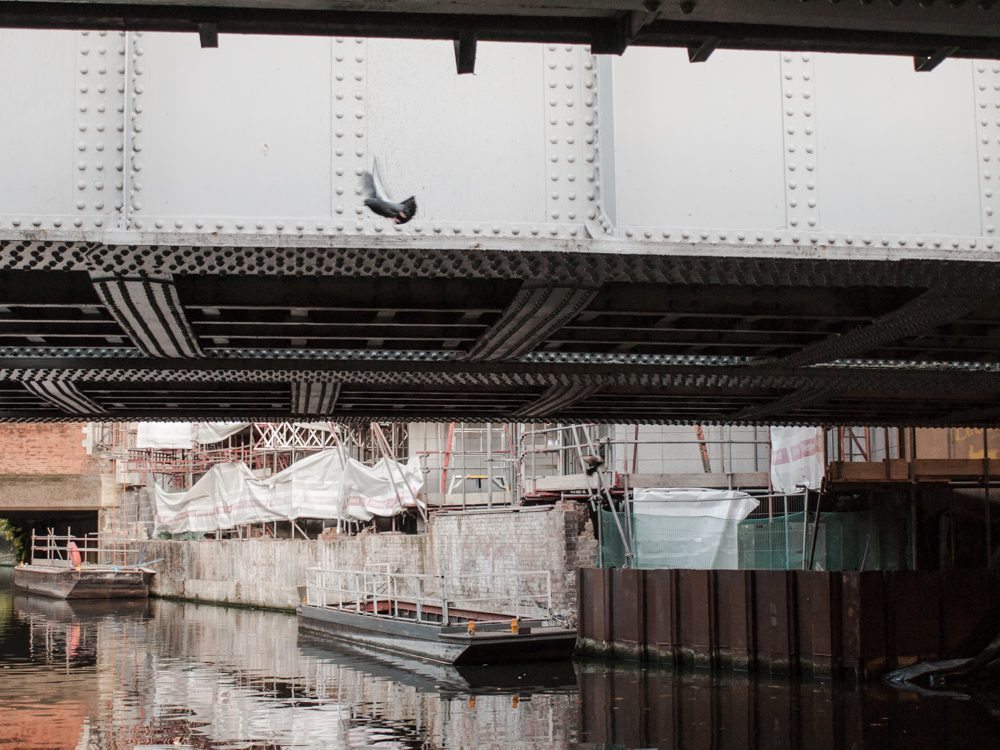
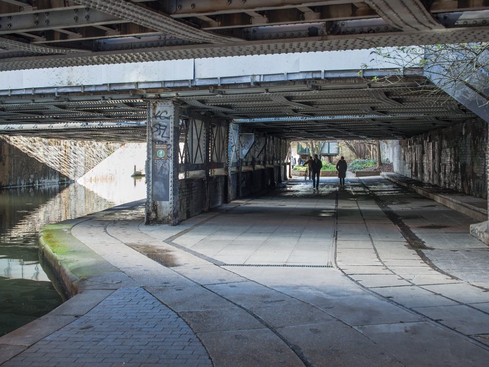
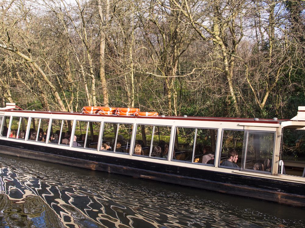
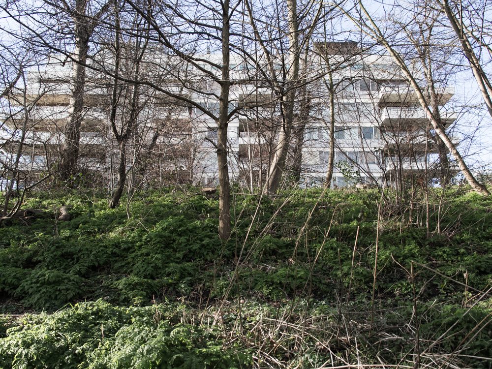
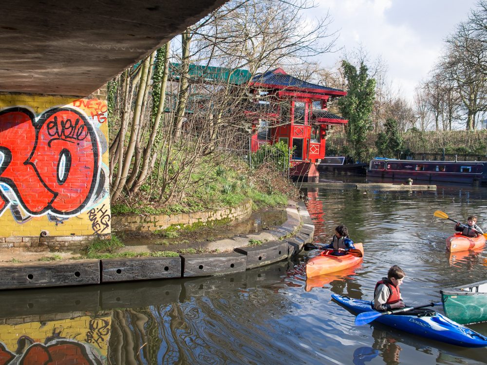
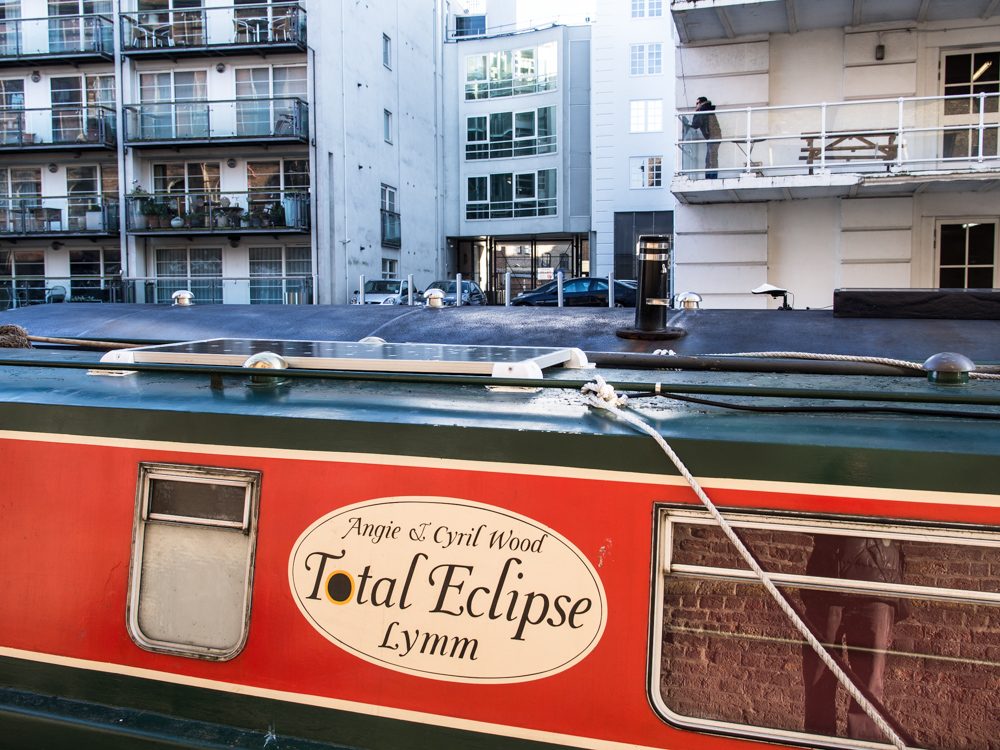
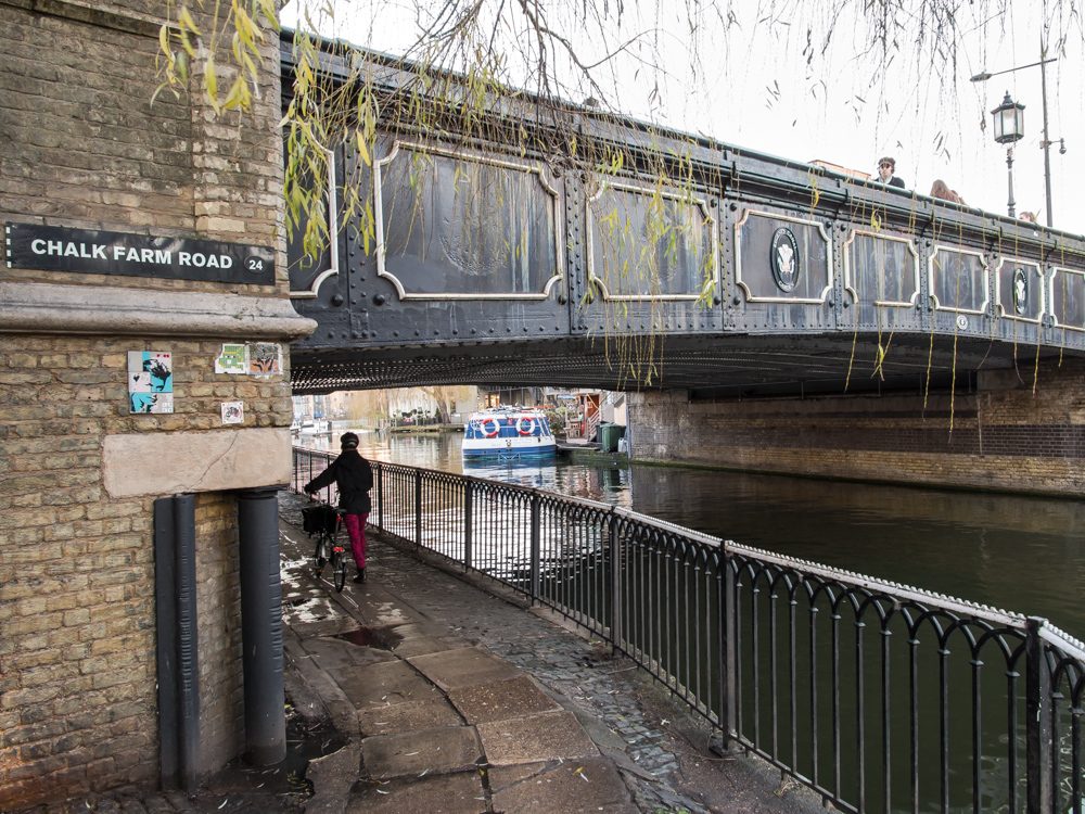
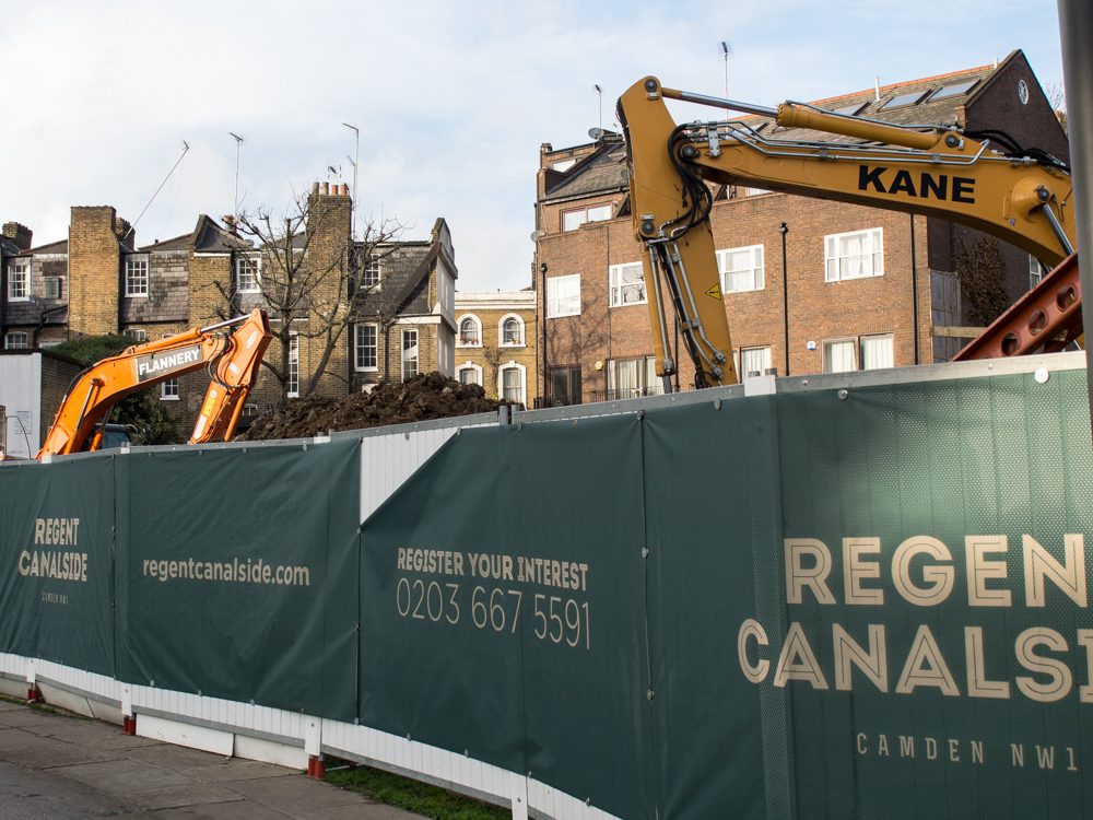
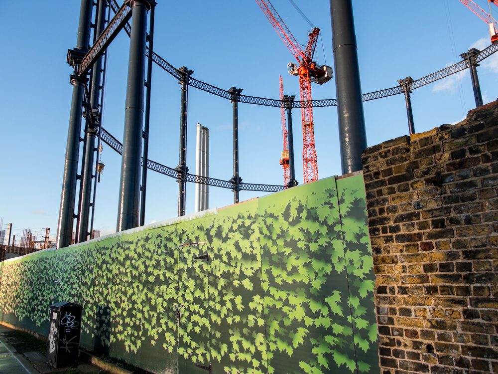
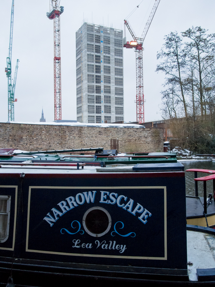
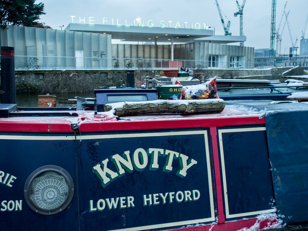
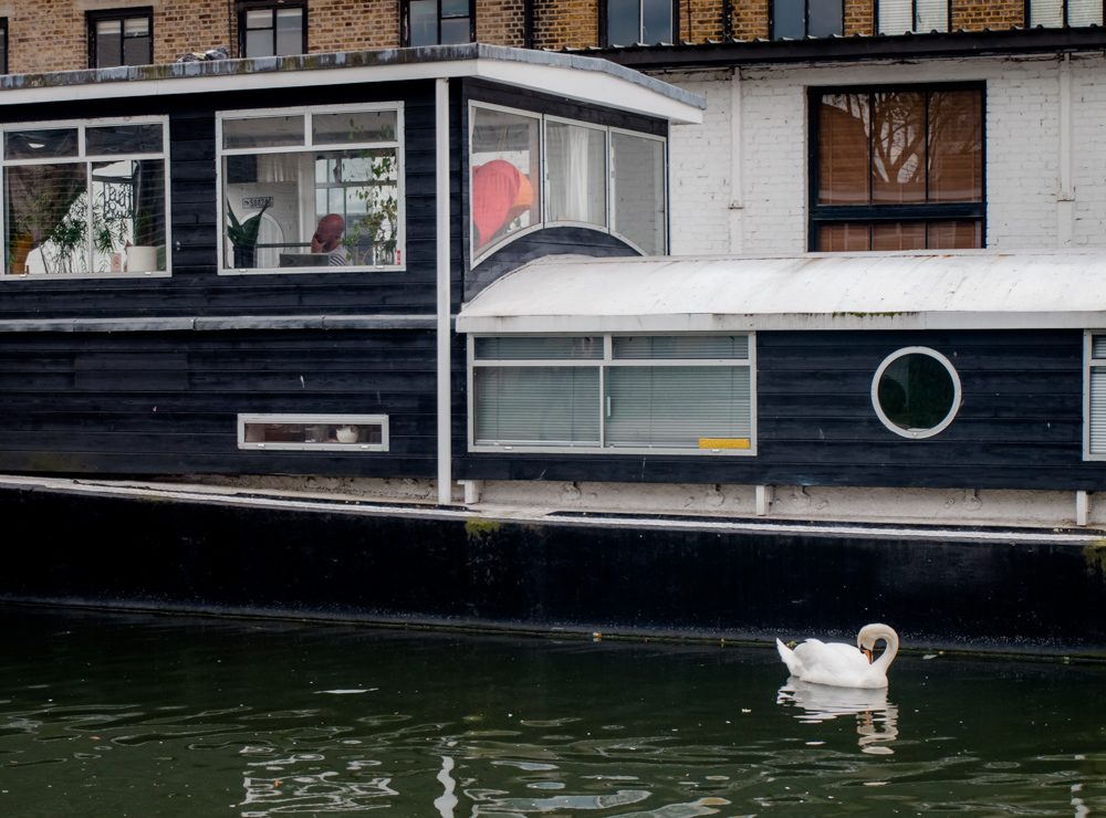
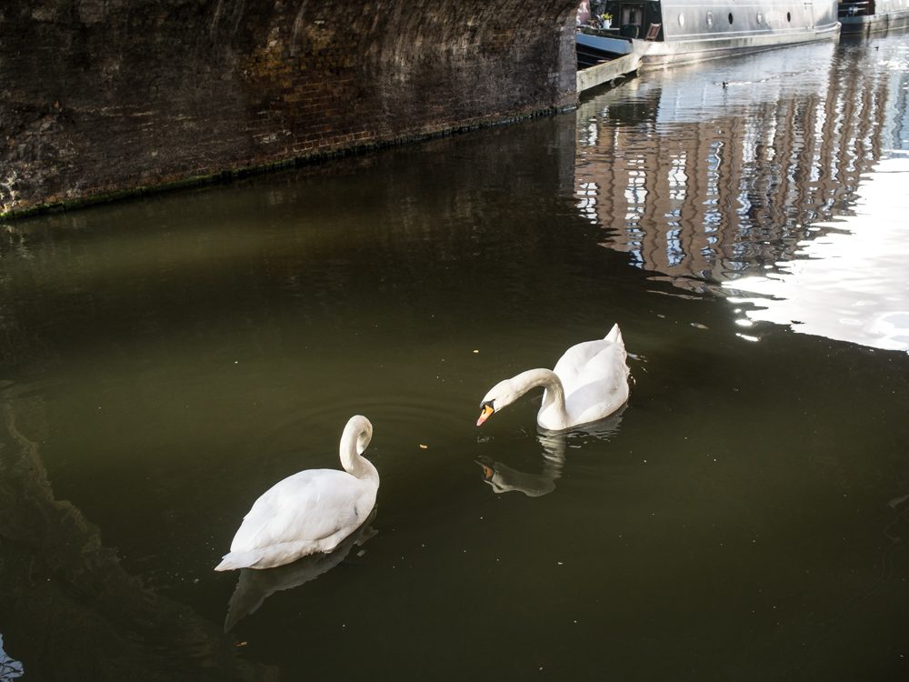
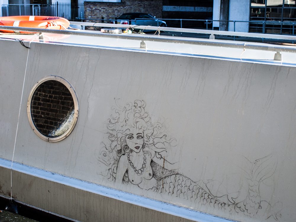
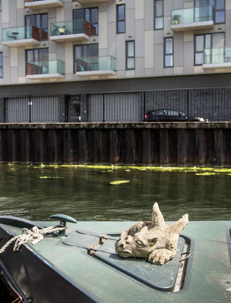
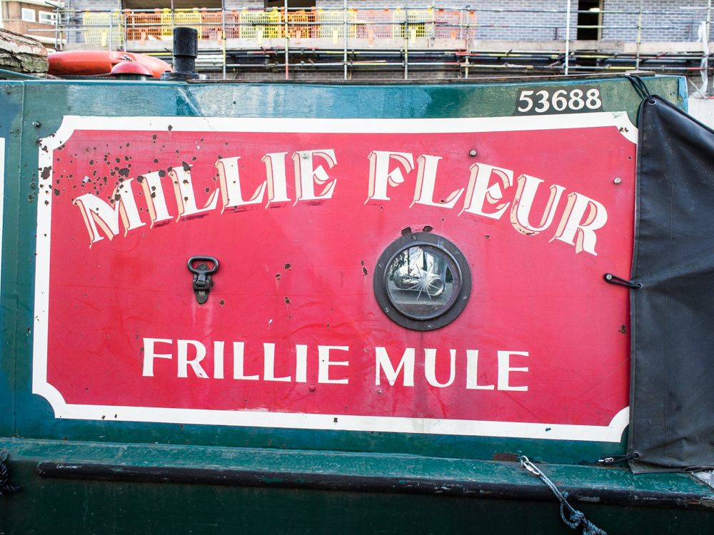
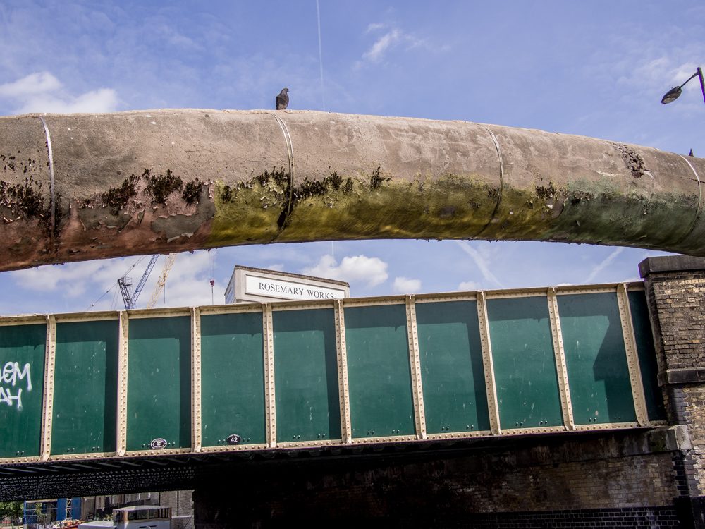
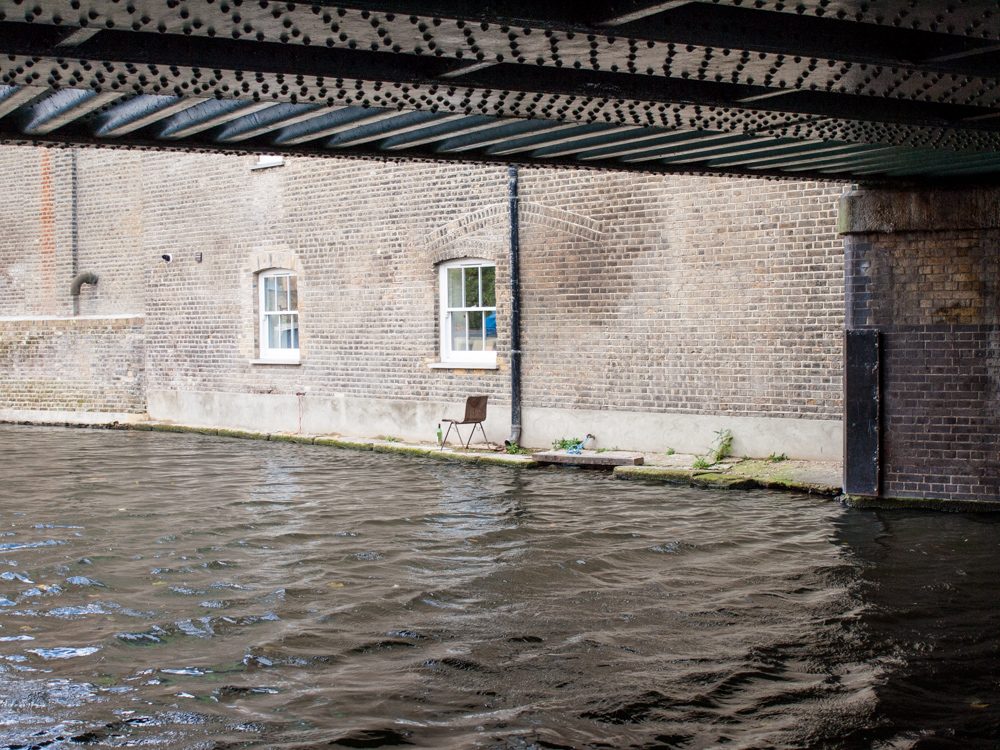
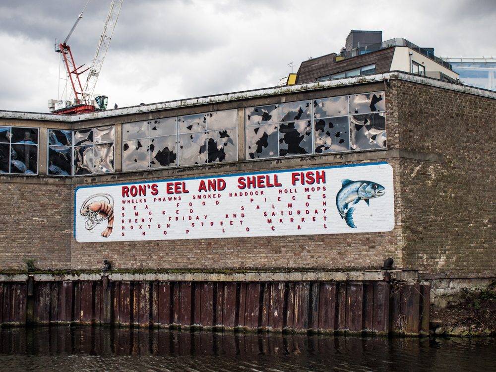
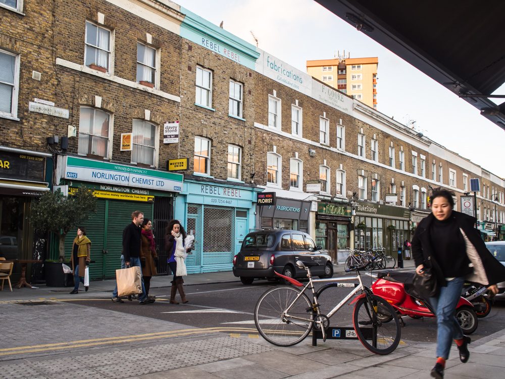
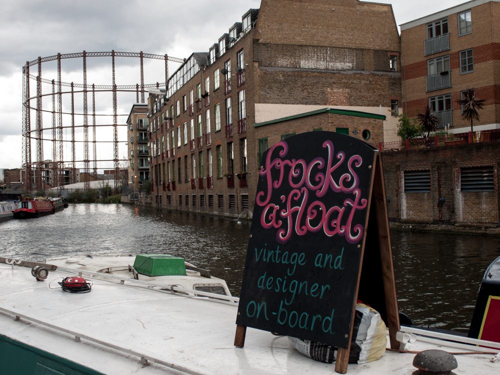
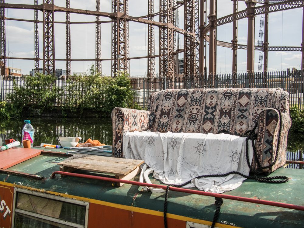
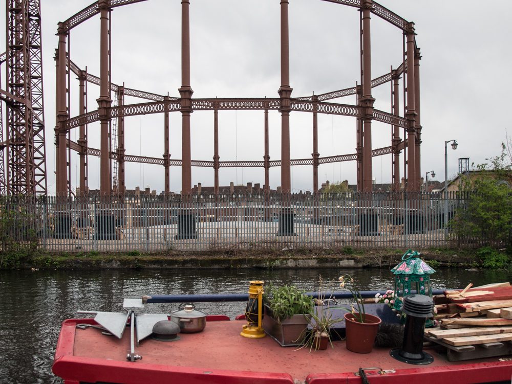
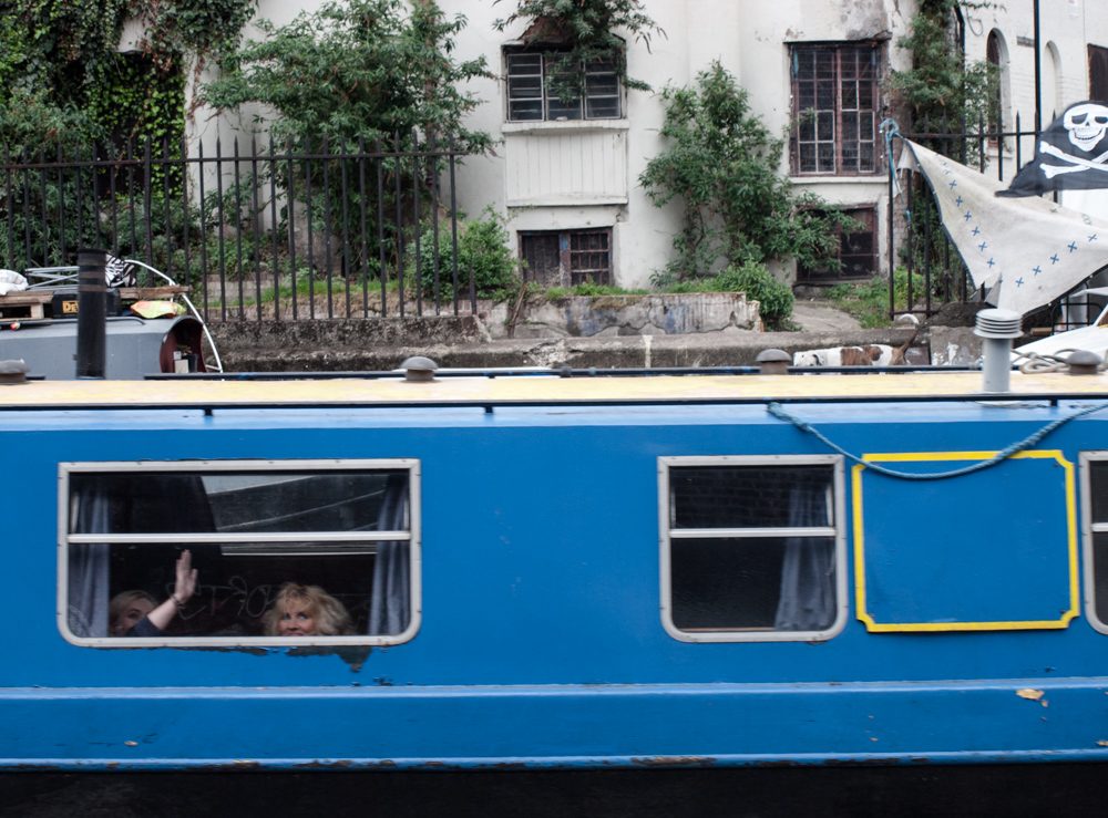
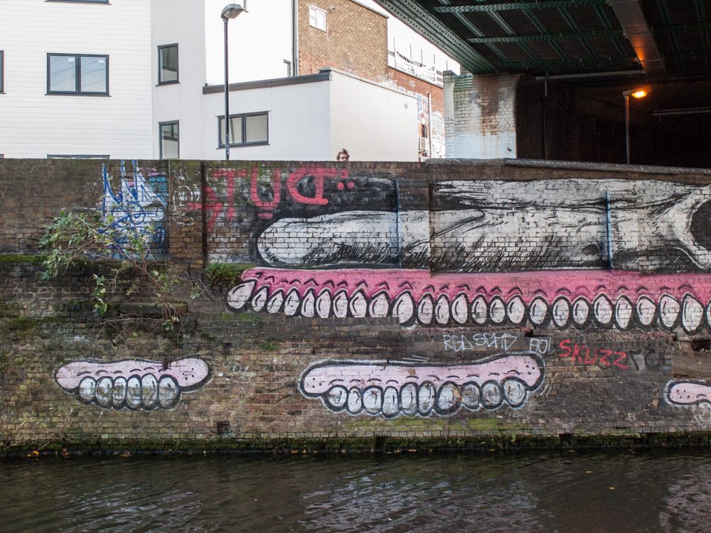
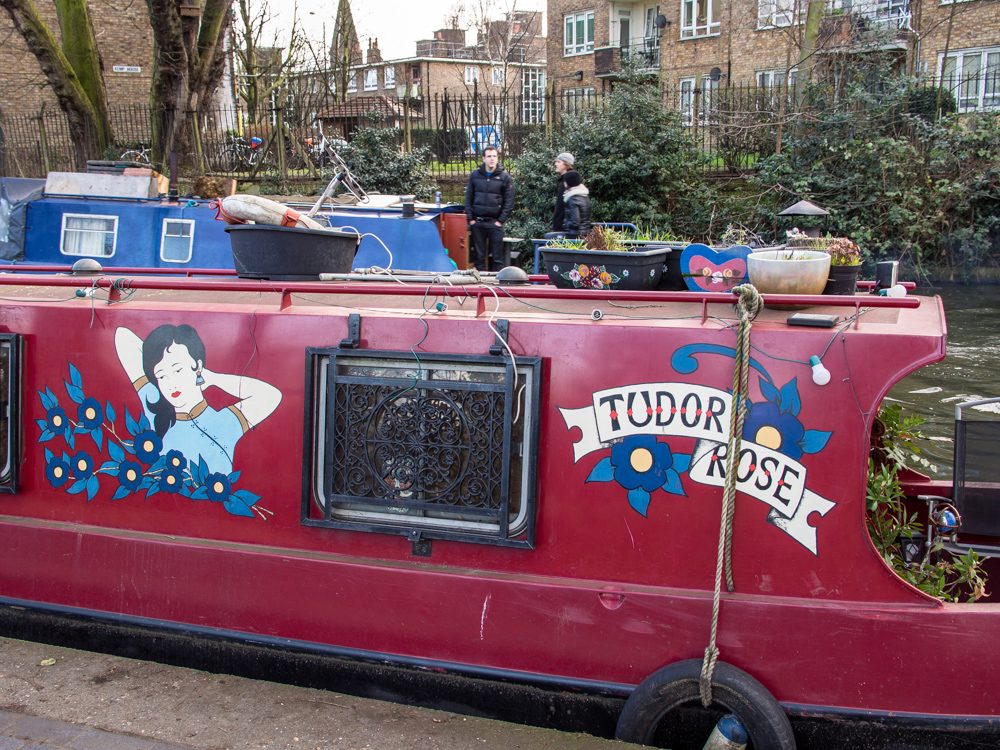
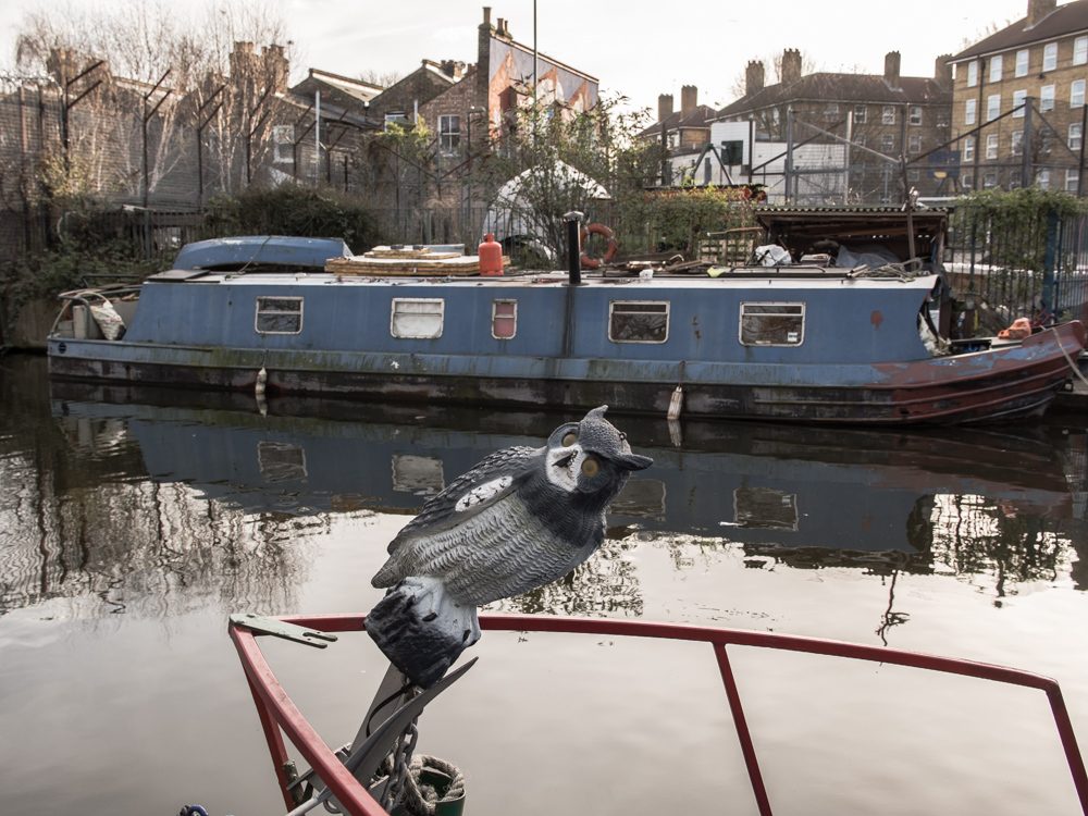
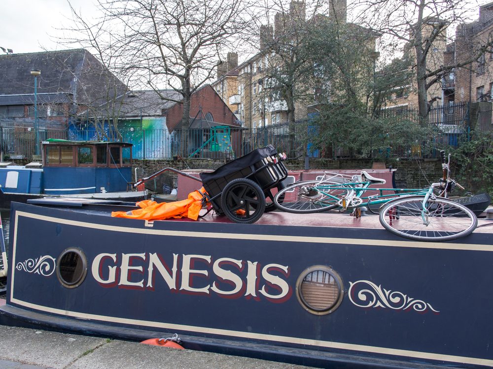
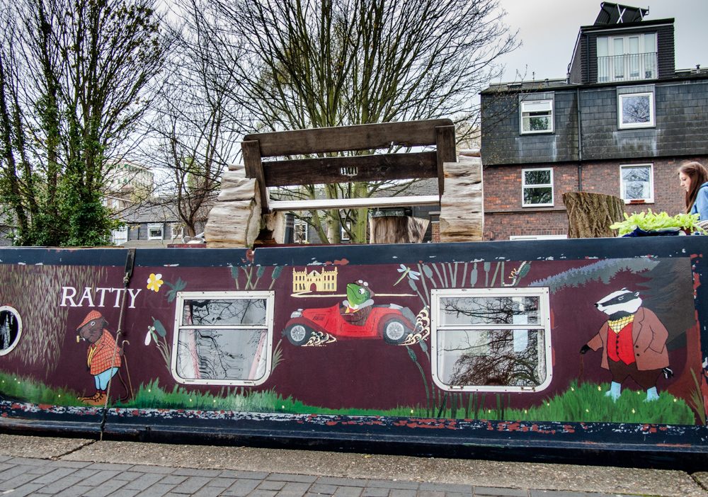
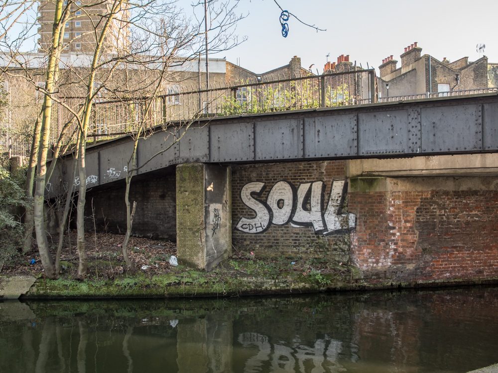
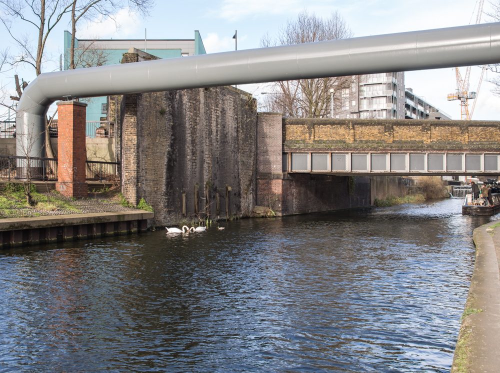
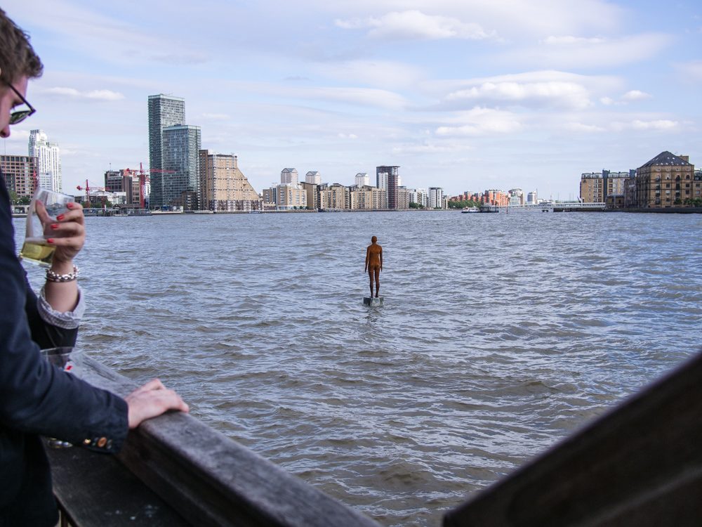
The Regents Canal in London runs from Paddington in the west to the Limehouse basin in the east. I’ve been walking the canal path for several years observing this little slice of London – a landscape in transition as a new wave of re-development transforms the environment of the canal towpath.
The plan for Regents Canal was developed by John Nash in 1811, as part of a larger development of north central london, which included Regents Park. The canal provided a link from the Grand Union Canal reaching to the industrial north – through to the Thames at Limehouse.
Constructed between 1812 and 1820 the canal was soon overtaken by the growing development of railways and road traffic and by 1969 the canal’s original function ceased. But growing environmental awareness has seen a re-use of the canal with cyclists and strollers competing for space along the narrow towpath.
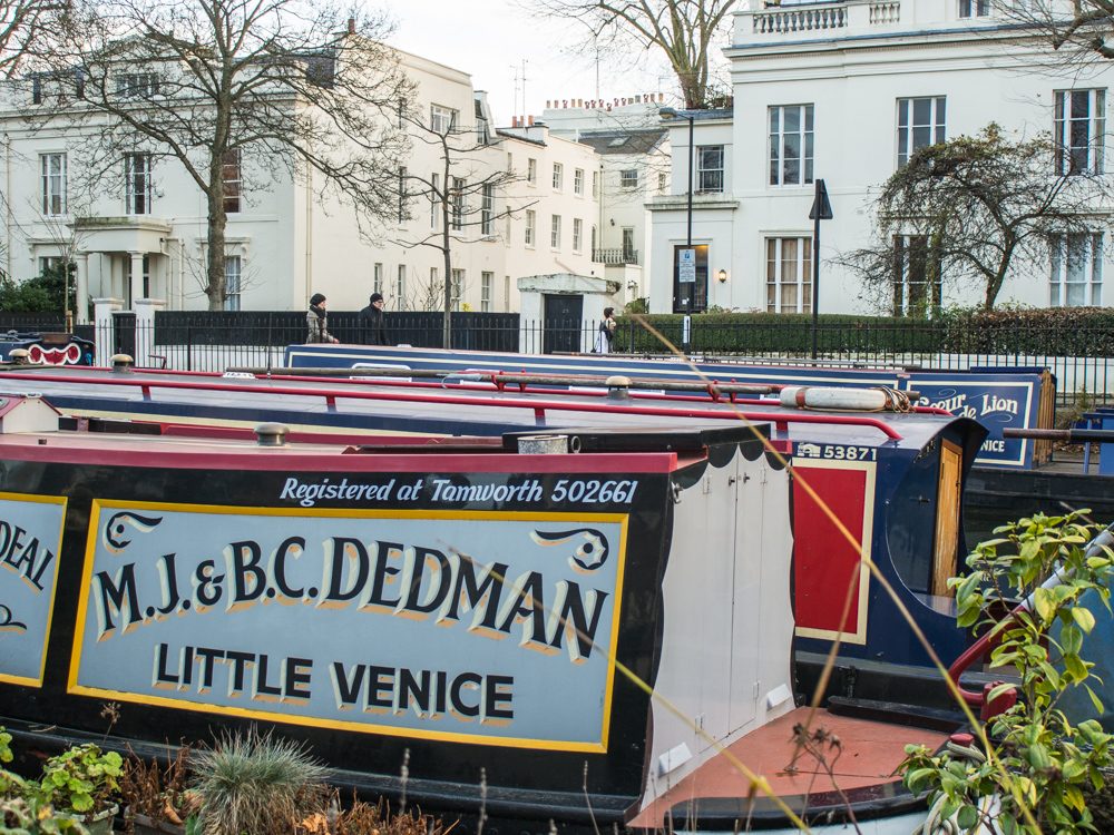
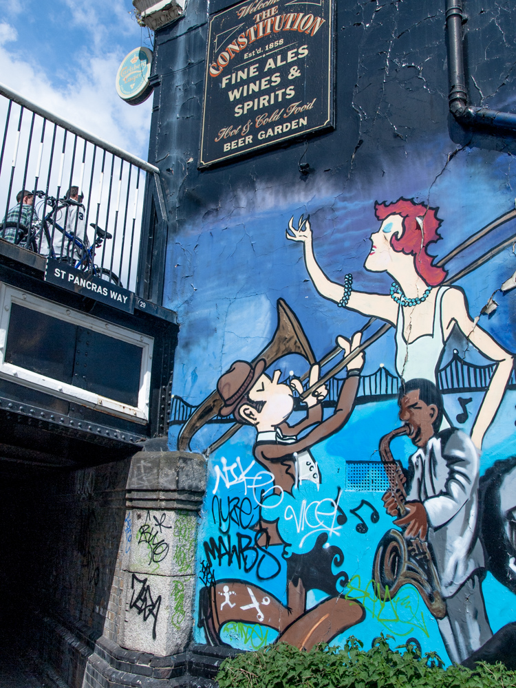
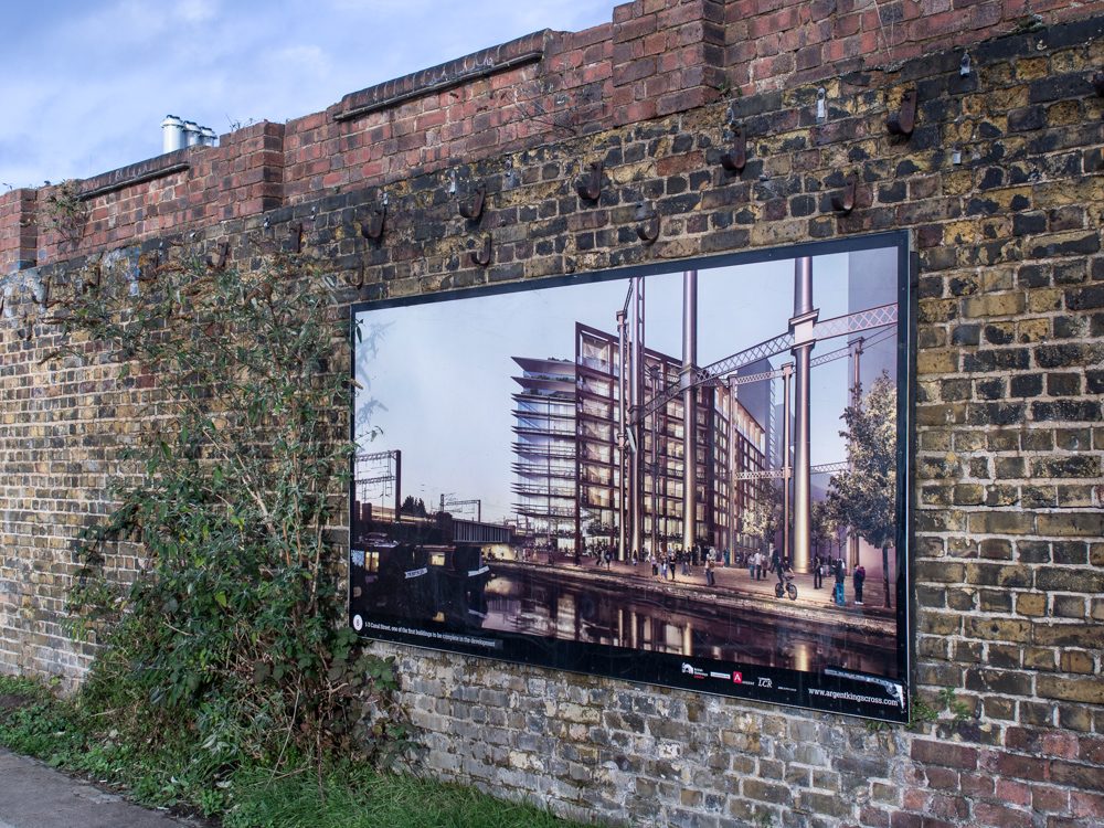
The canal route takes in a broad microcosm of London. At the western edge are the grand houses and mansion blocks of the established affluence of Little Venice and the splendour of Regents Park. Not far beyond the gentrified grunge of Camden Town a new district of apartment blocks and a university campus is arising out of the old goods yards and warehouses around Kings Cross station.
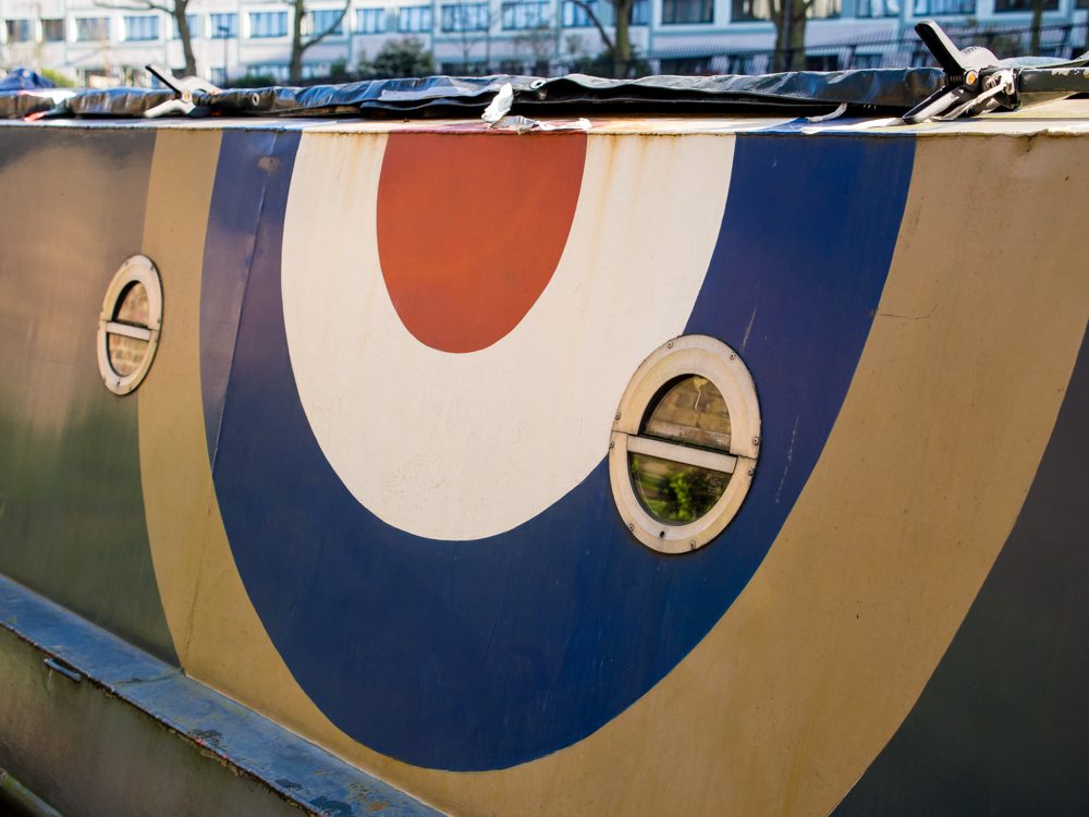
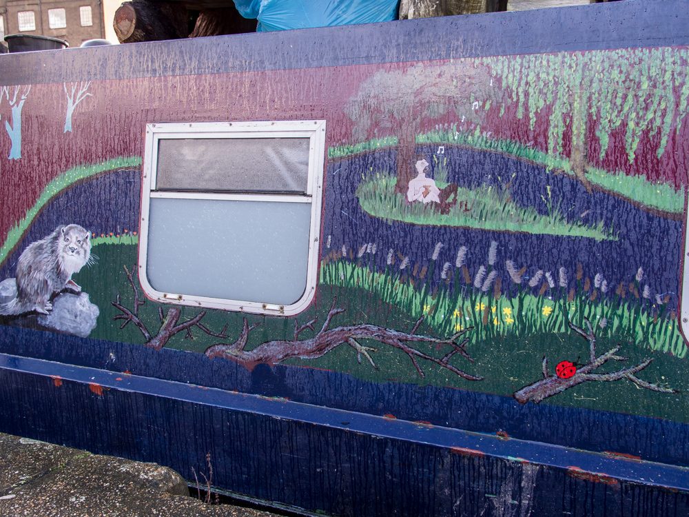
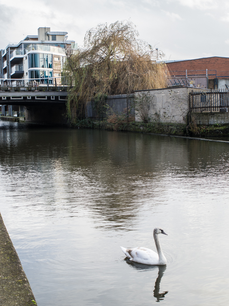
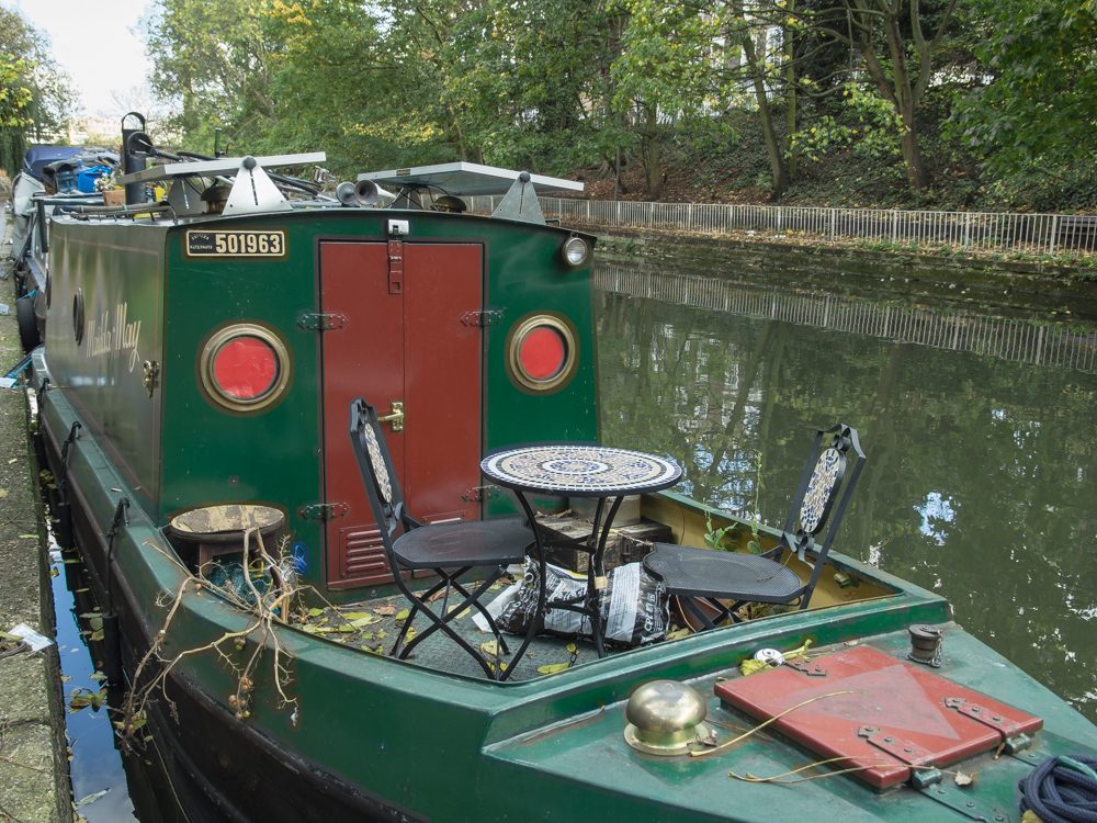
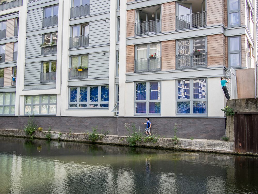
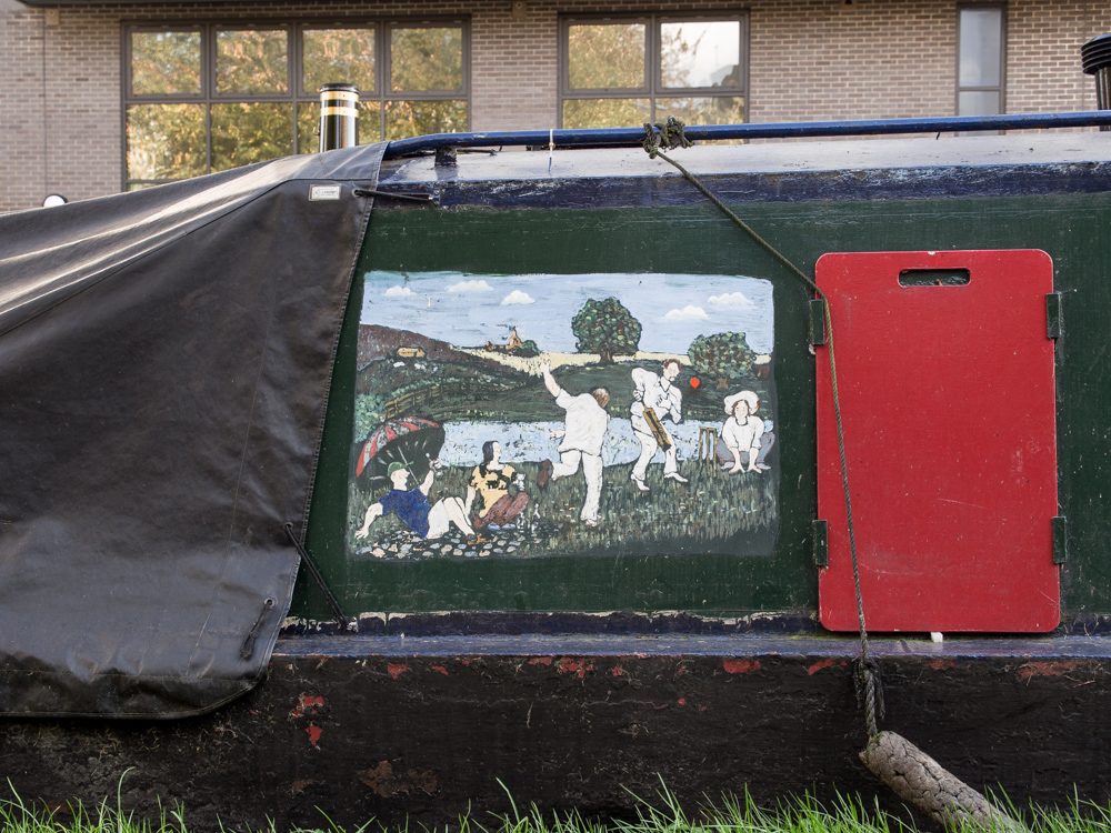
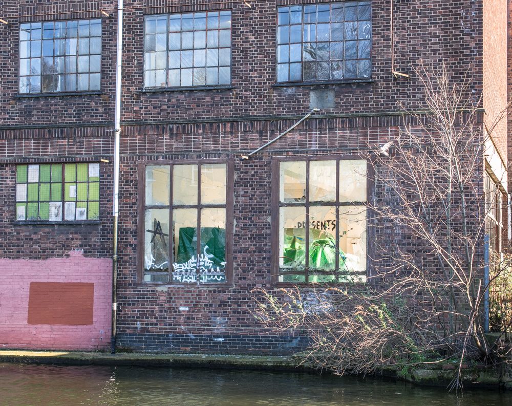
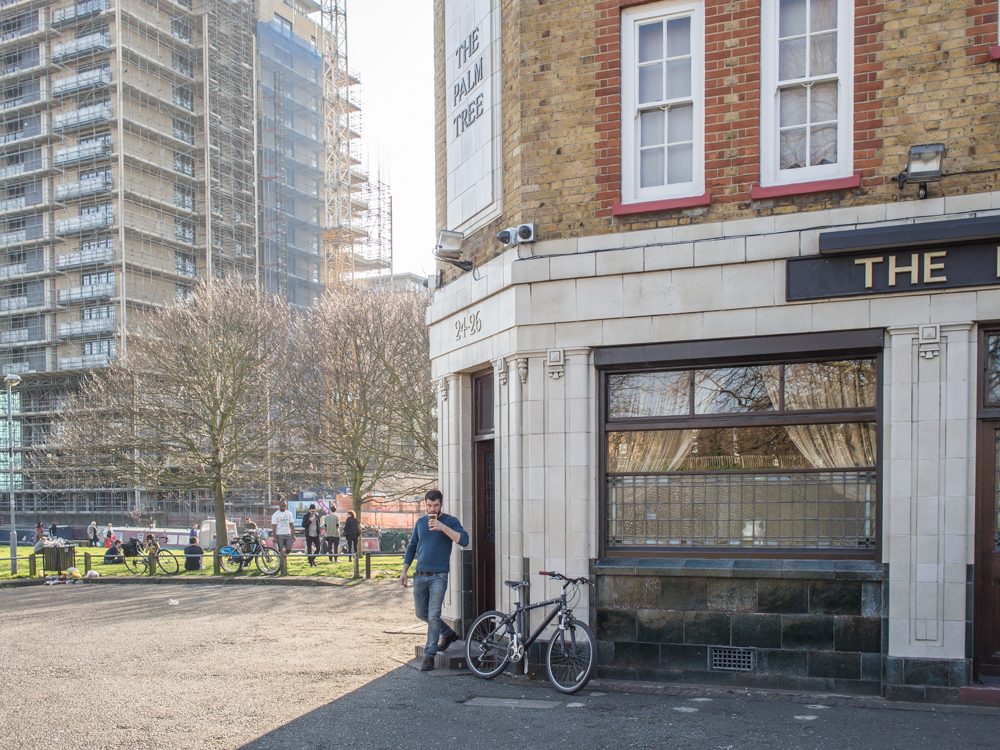
As we move to Islington and Hackney, new housing developments, old council estates and a decaying industrial landscape define an urban landscape that is rapidly transforming. The old canal-side living of the narrowboat is being replaced by apartment blocks that crowd the canal path and define a new urban district for London.
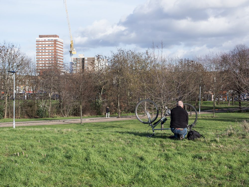
As we approach the Limehouse Basin the landscape flattens and the rows of canal-side apartments disappear. For now the luxury apartment blocks remain constrained by the green spaces of Victoria and Mile End parks.
The evolving story of the Regent’s canal is perhaps a broader reflection of the history of London’s cycles of invention and re-invention.

