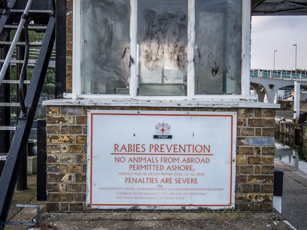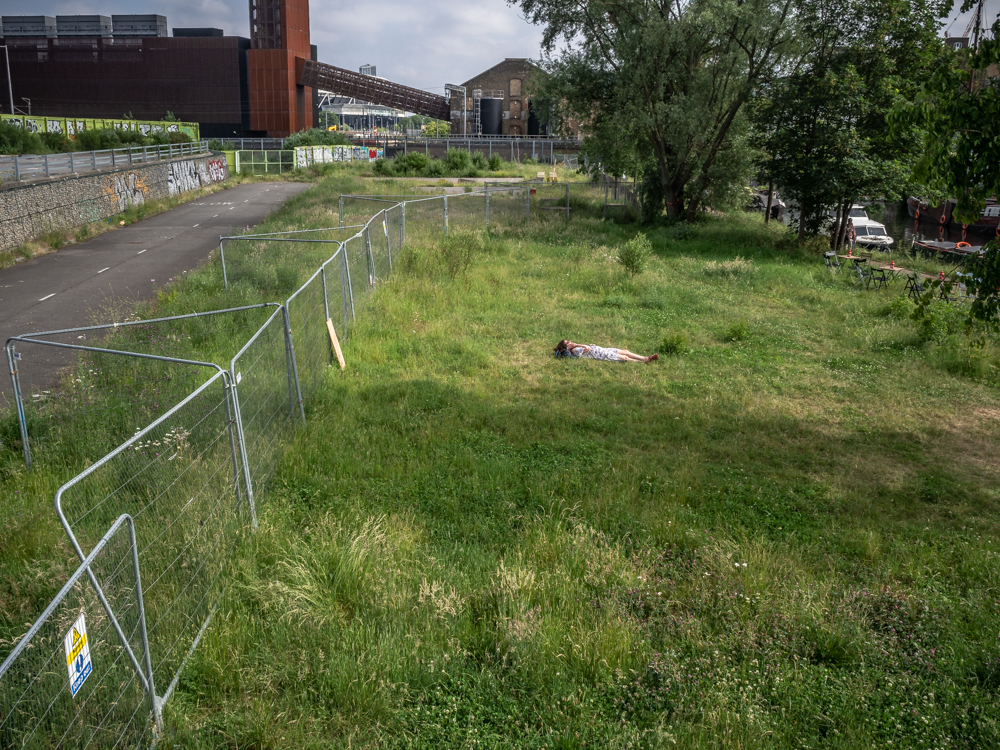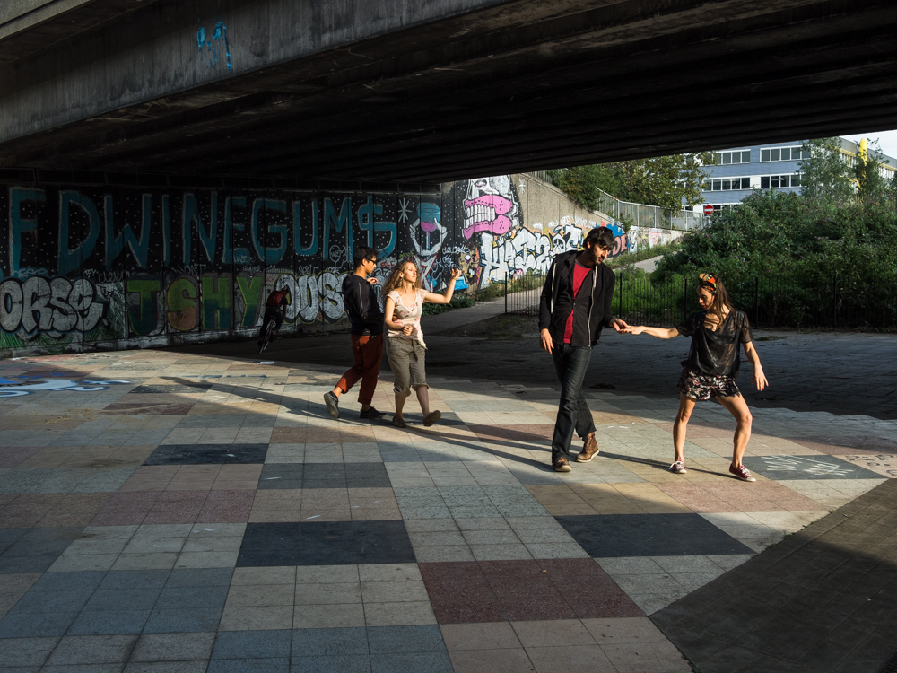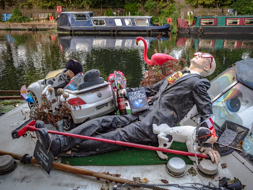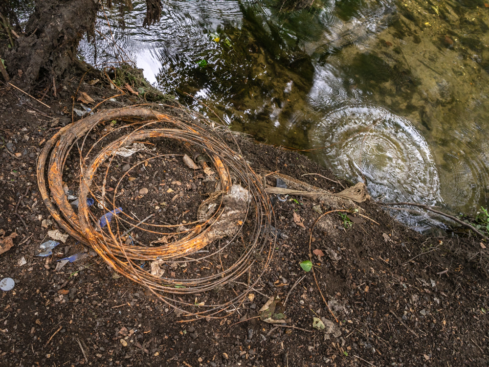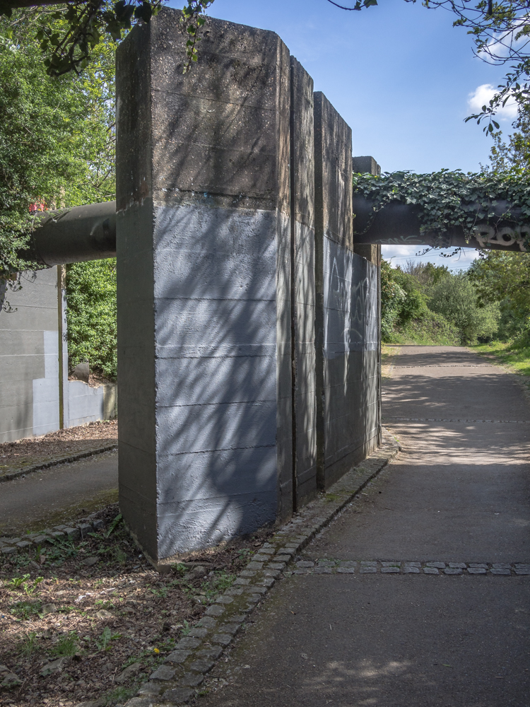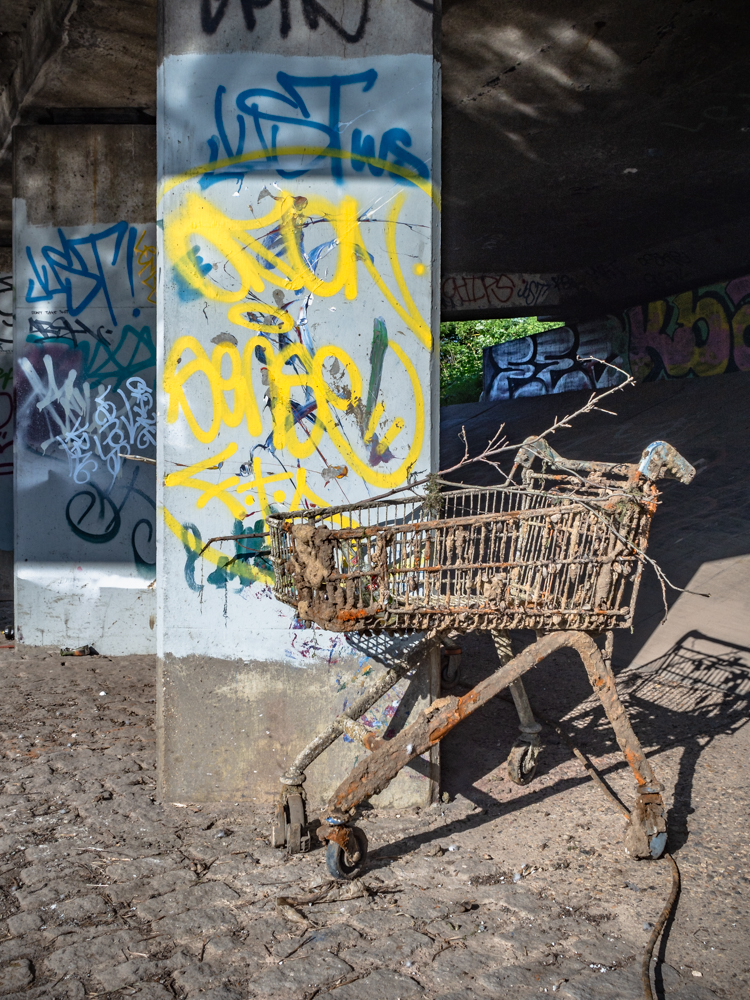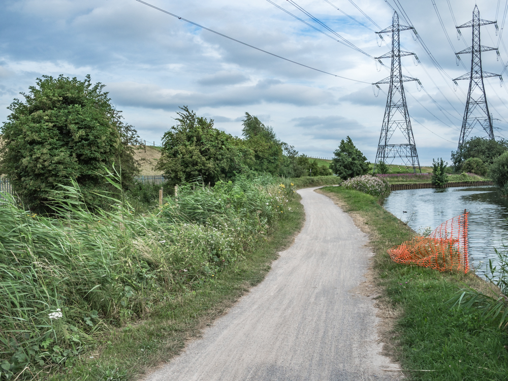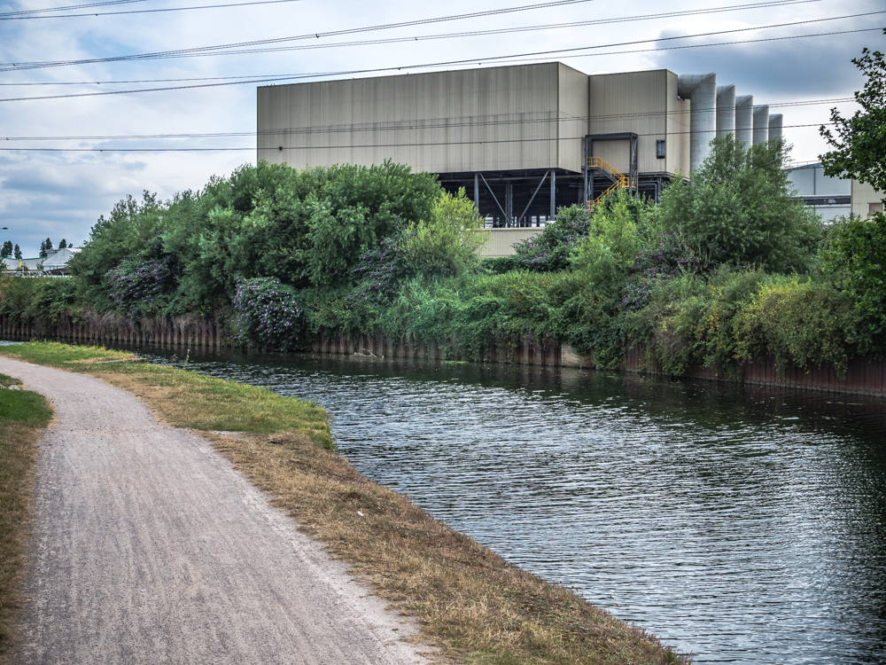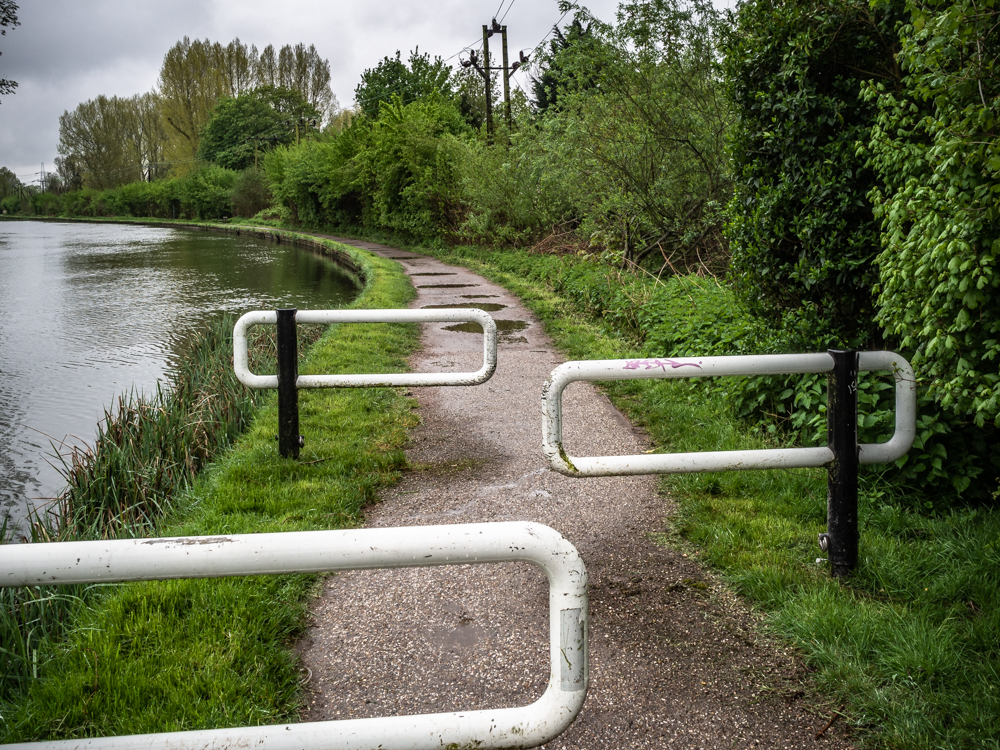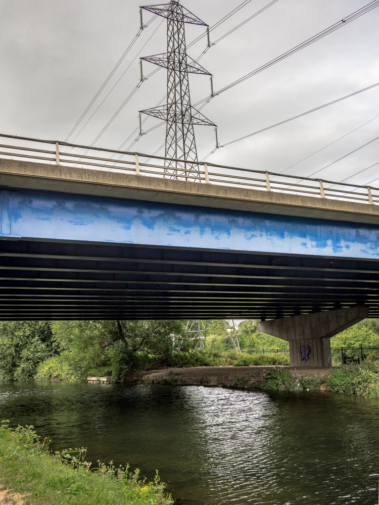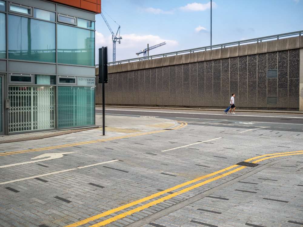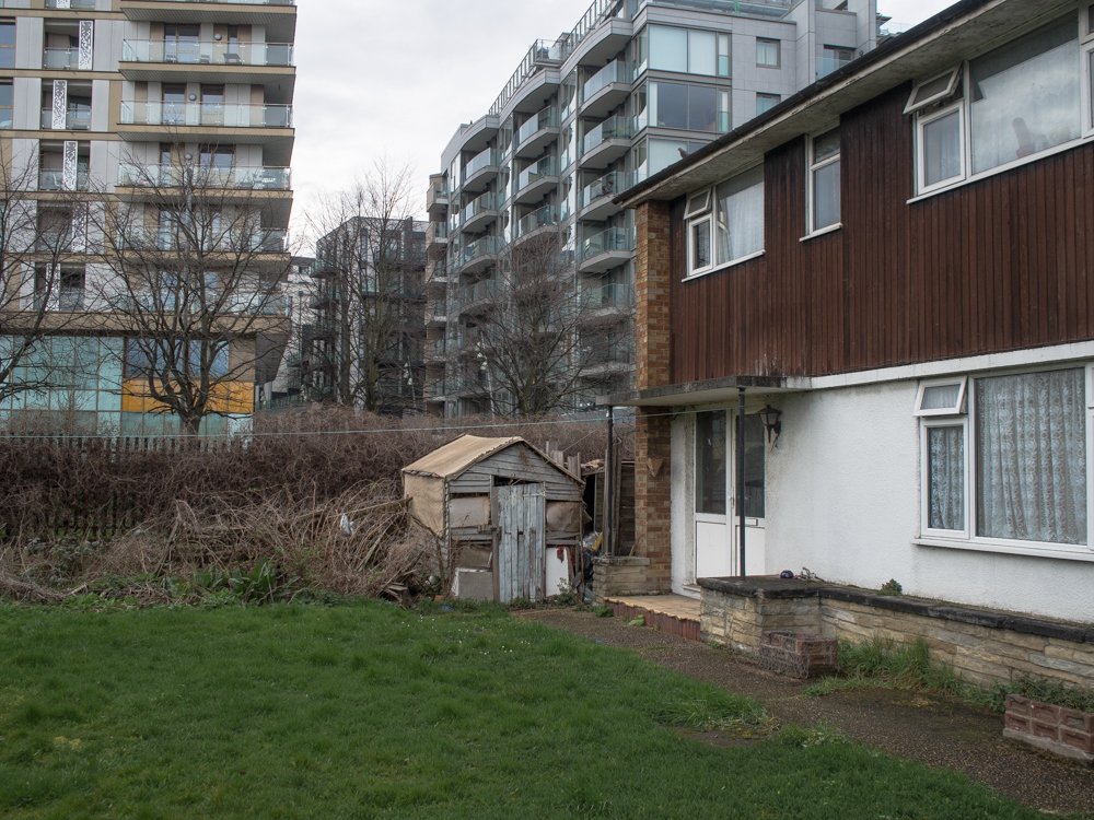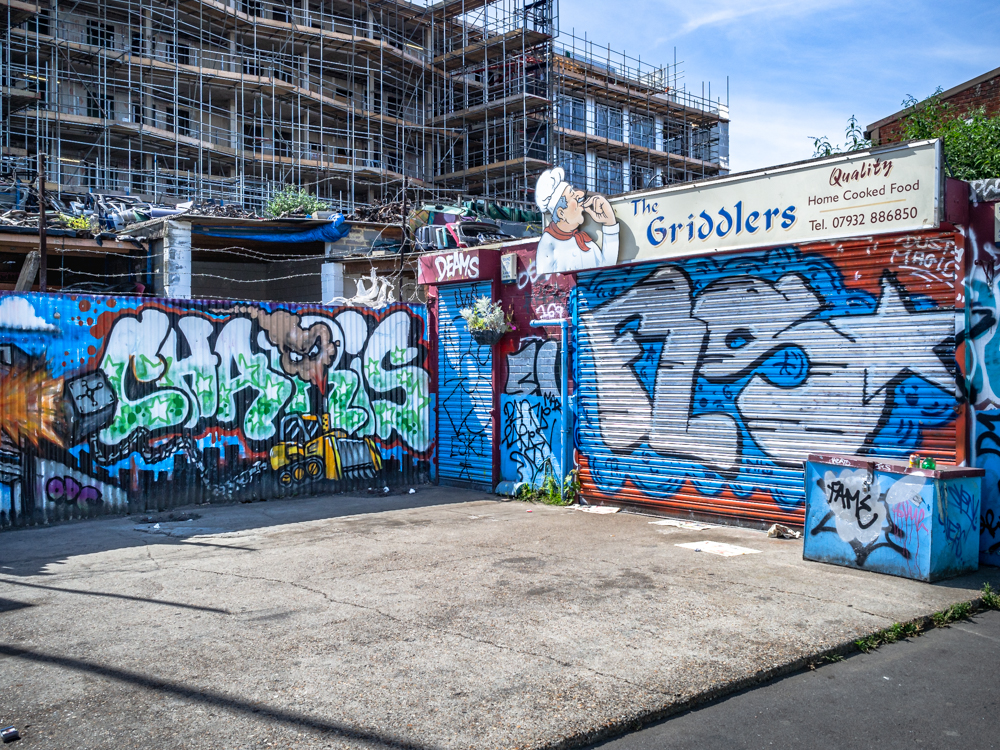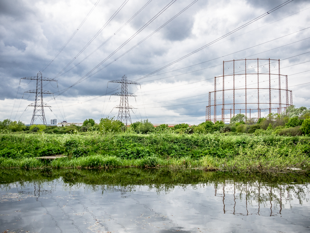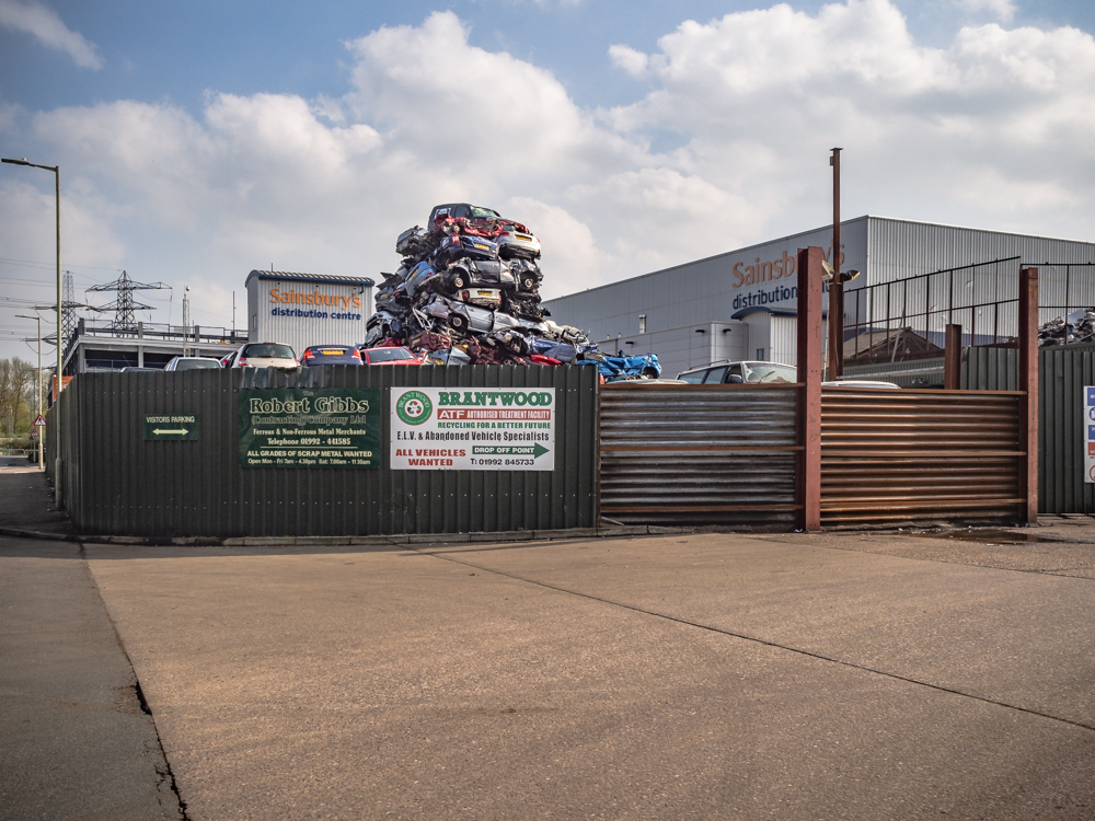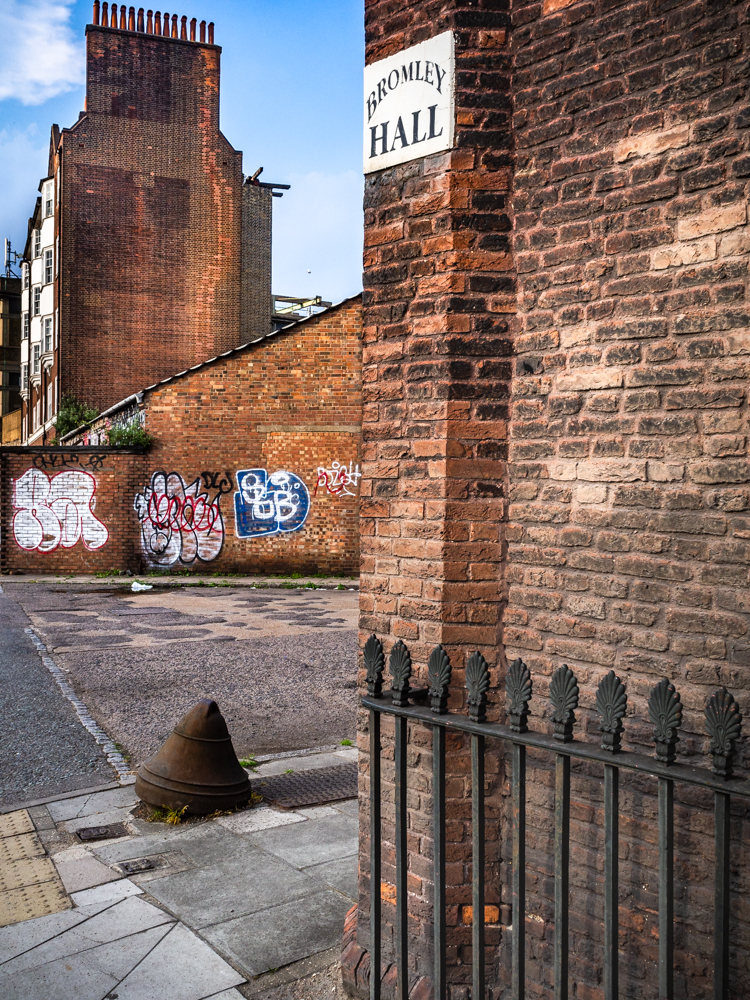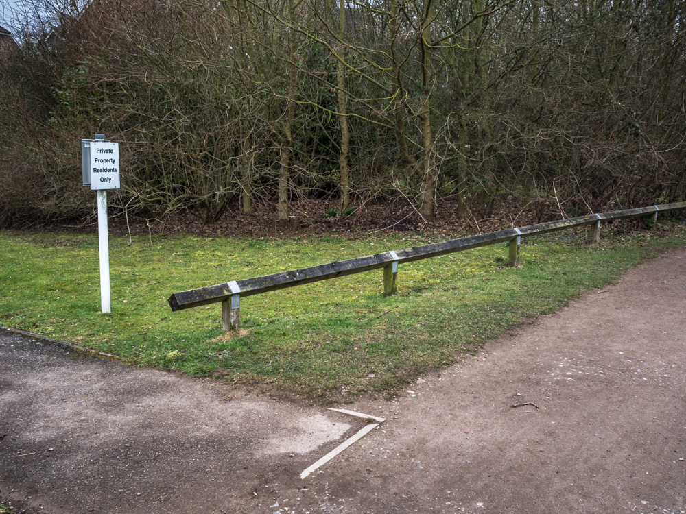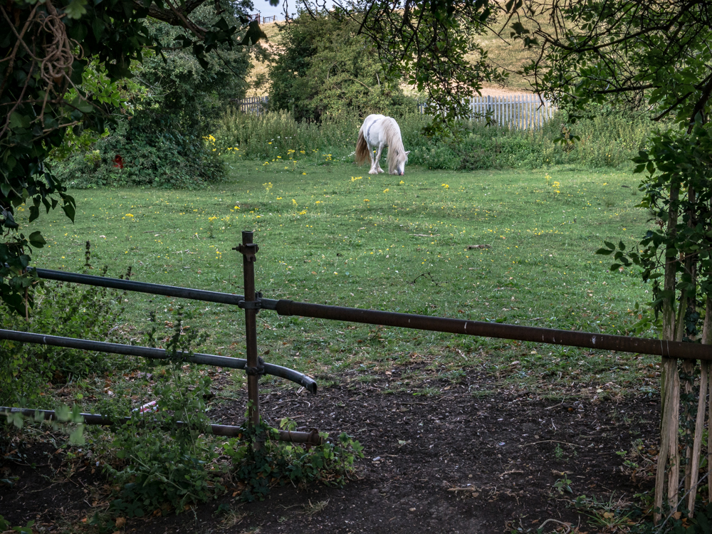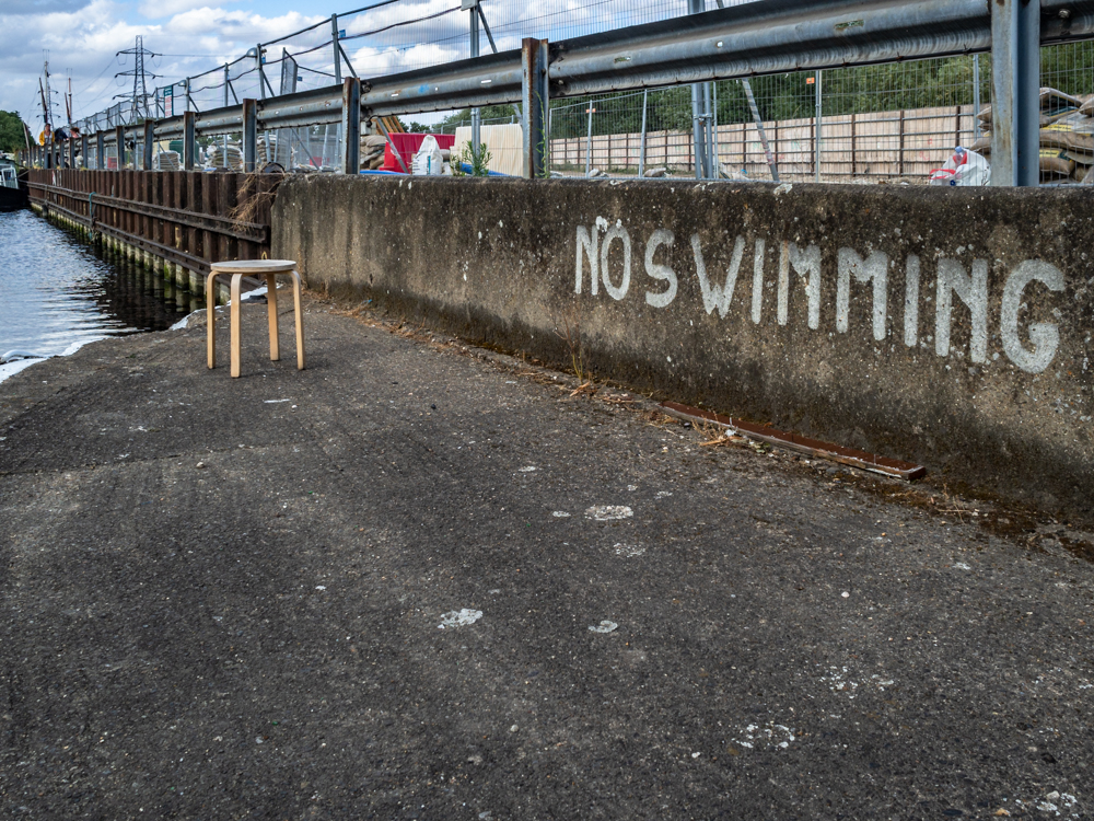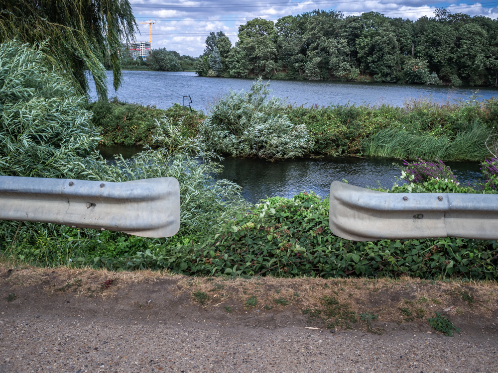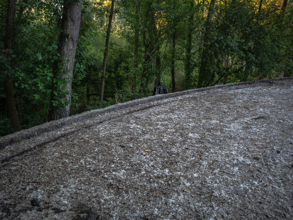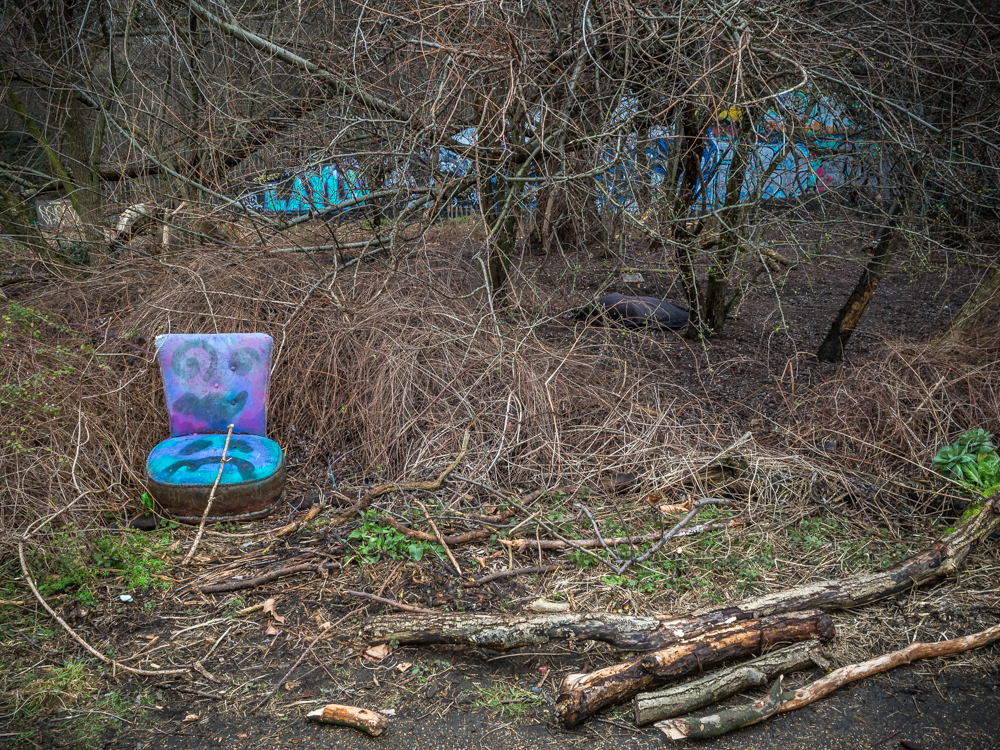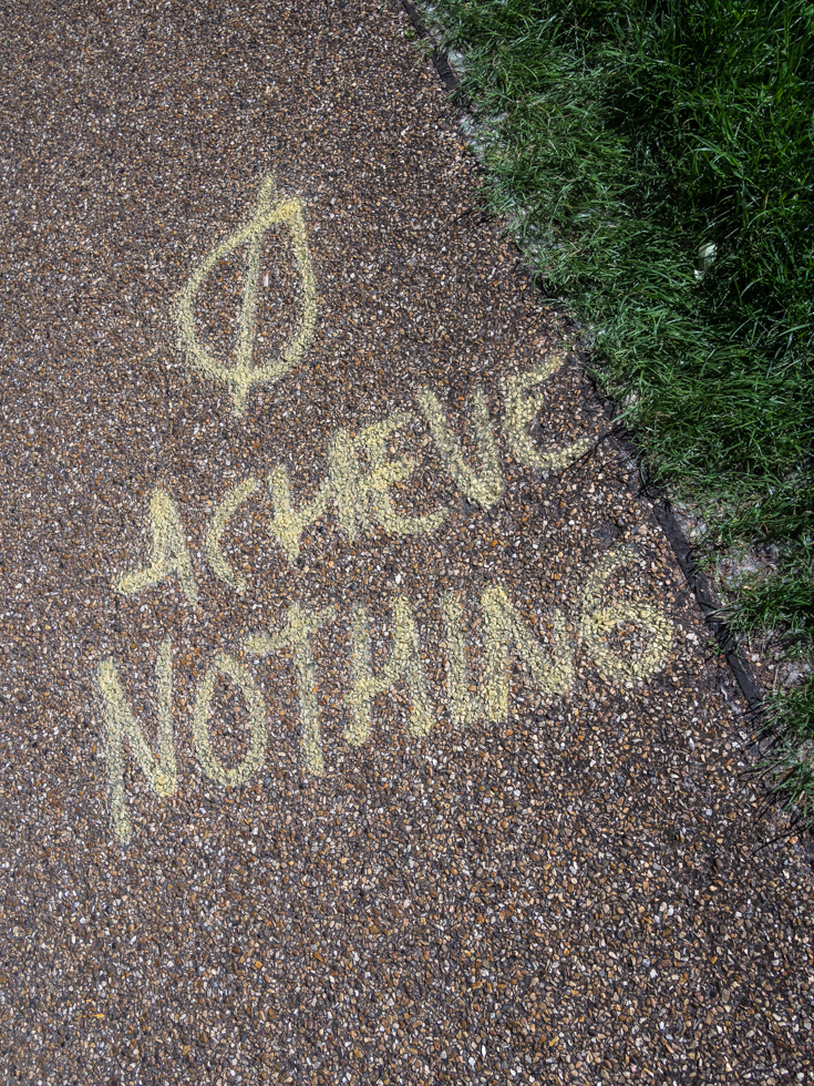
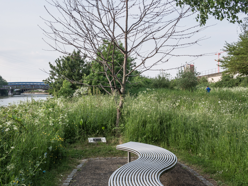
Limmo Peninsula Ecological Park, Lea River
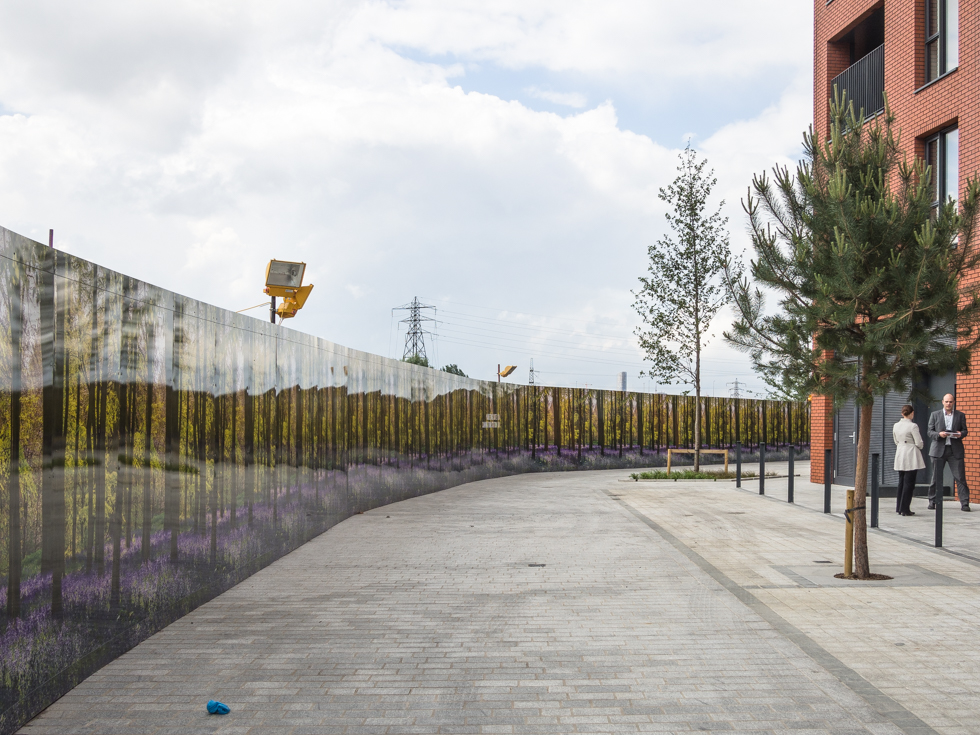
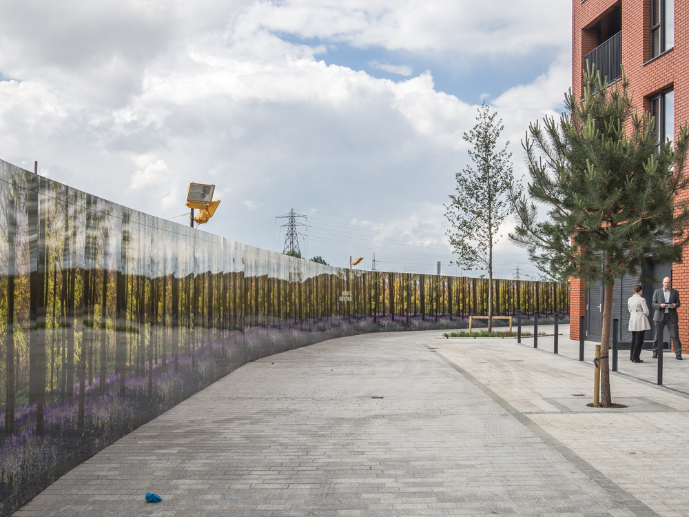
Selling the riverside dream, London City Island,, Canning Town, Lea River

Lea River, Canning Town
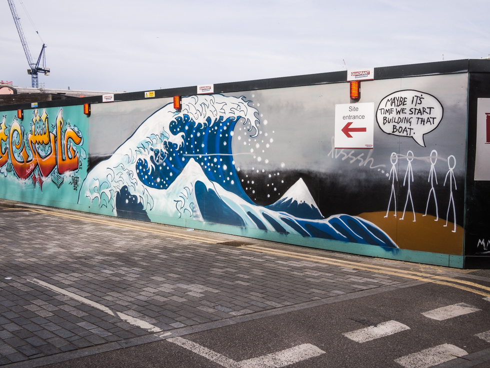
Fish Island, Lee River Navigation, Hackney London – The wave is a celebrated image originally created by the Japanese artist Hokusai – and often reproduced. Its appearance here reminds us that at one point the Lea was a tidal river as far upstream as Hackney Wick. Over the centuries canalisation of sections of the river and the creation of flood channels have changed the flow and course of the river….
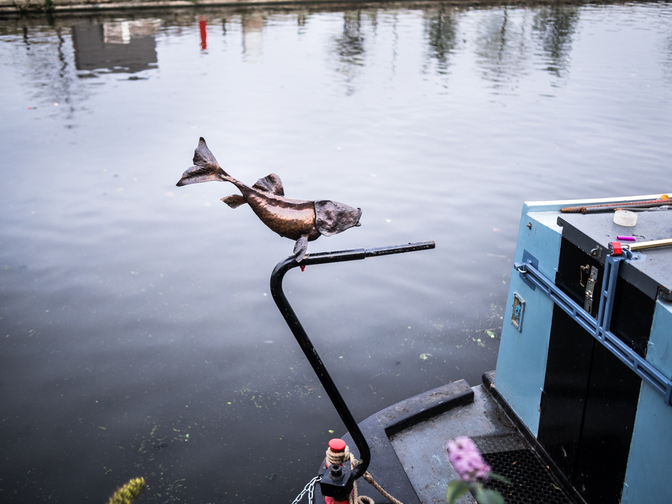
Fish Island, Lee River Navigation, Hackney Wick London
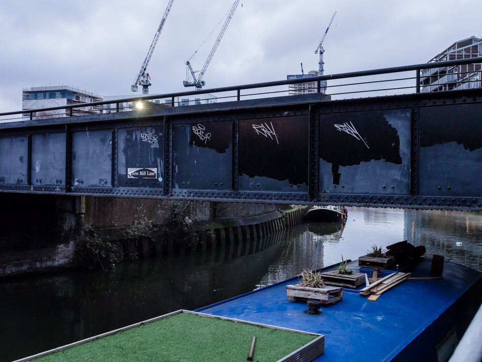
Three Mills Lane, Lea River, Bow London
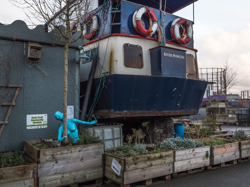
Cody Dock, Lea River
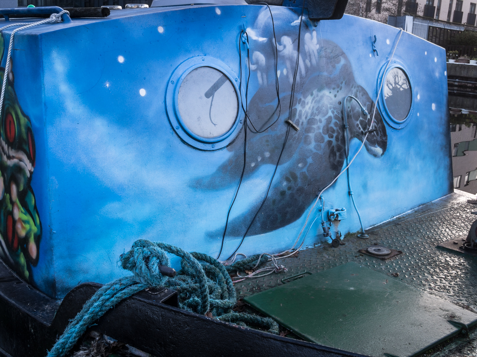
Blue, Lee River Navigation, Hackney
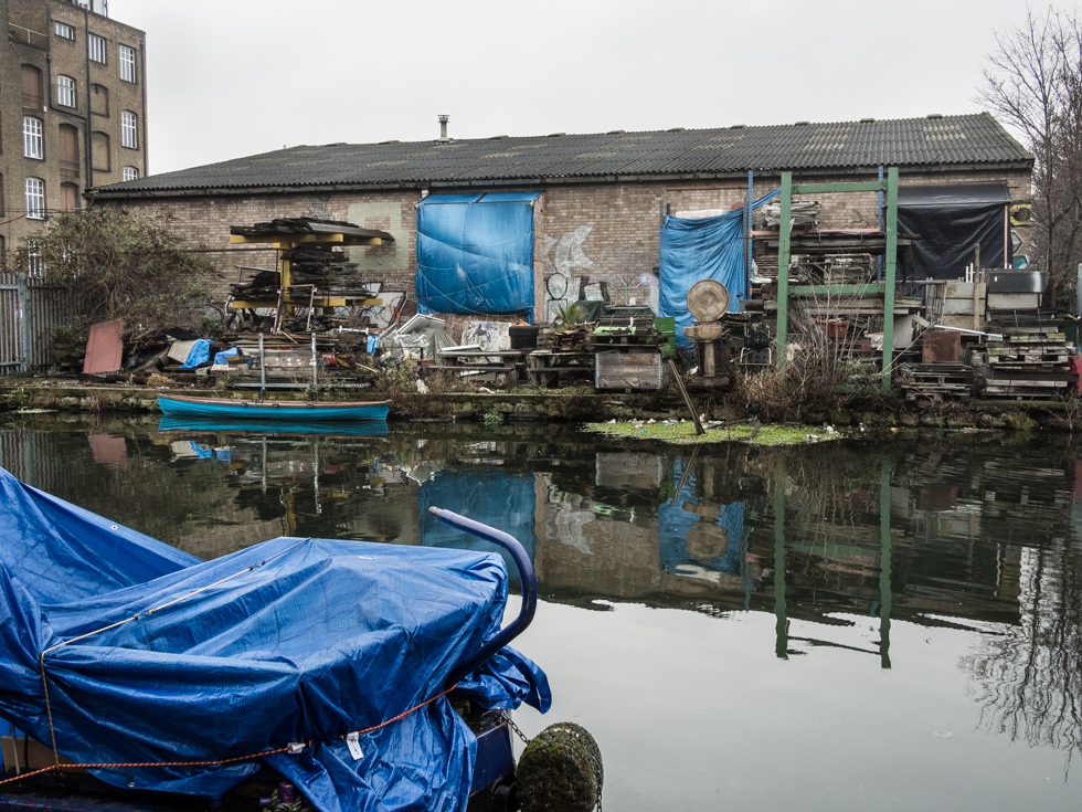
Lee River Navigation, Hackney Wick – the last traces of the old industrial landscape
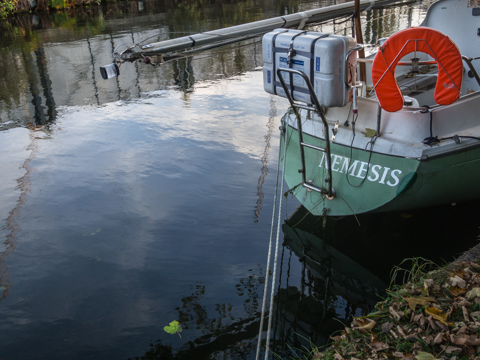
Nemesis, Fish Island, Hackney Wick
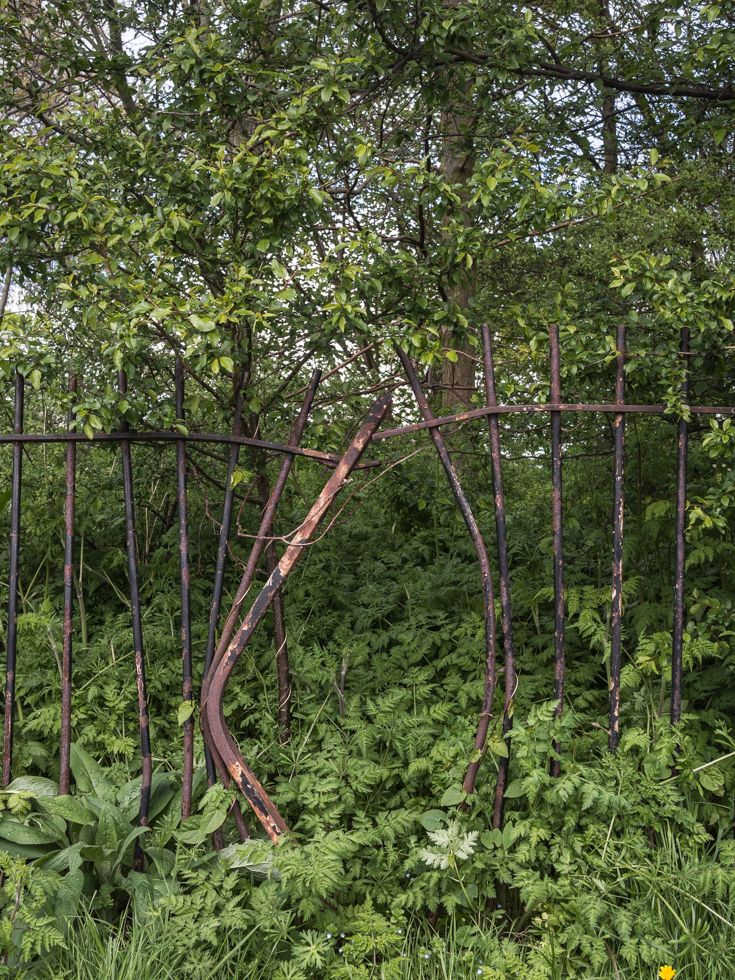
Hackney Marshes
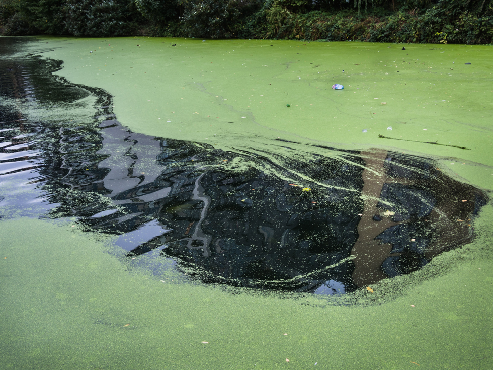
Lee River Navigation, Hackney Wick
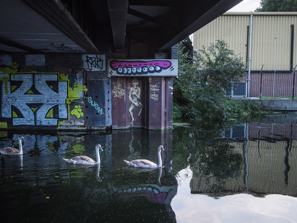
Lee River Navigation, Hackney Wick
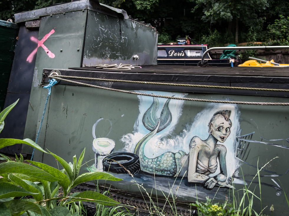
Lee River Navigation, Hackney
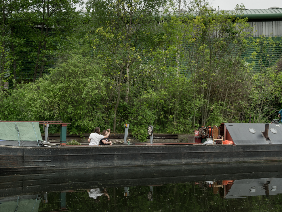
Darts, Lee River navigation, Hackney
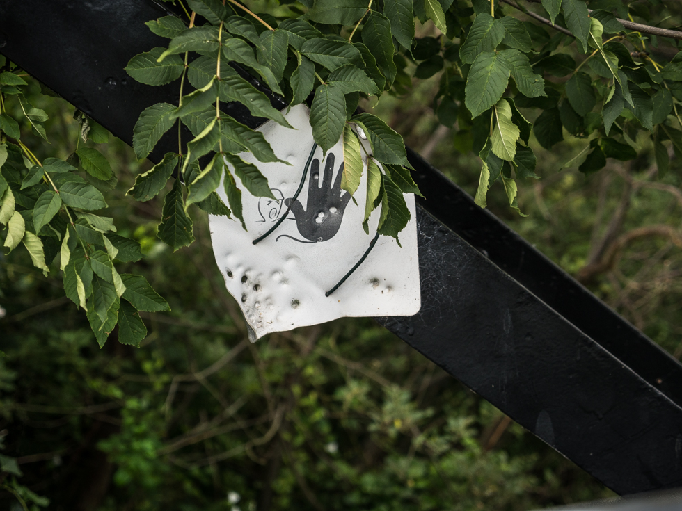
Lee river navigation – Enfield London. What appear to be bullet holes are a reminder that close to this bridge was the site of the Royal Small Arms Factory, which produced small arms for the british military from 1816 to 1988. Today the site is known as Enfield Island and is a housing estate with a few remnants of its previous military past.
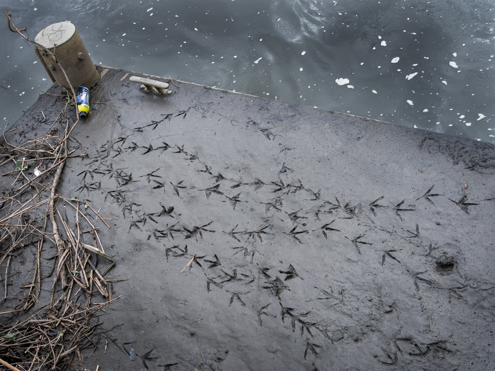
Lea River, London East Village
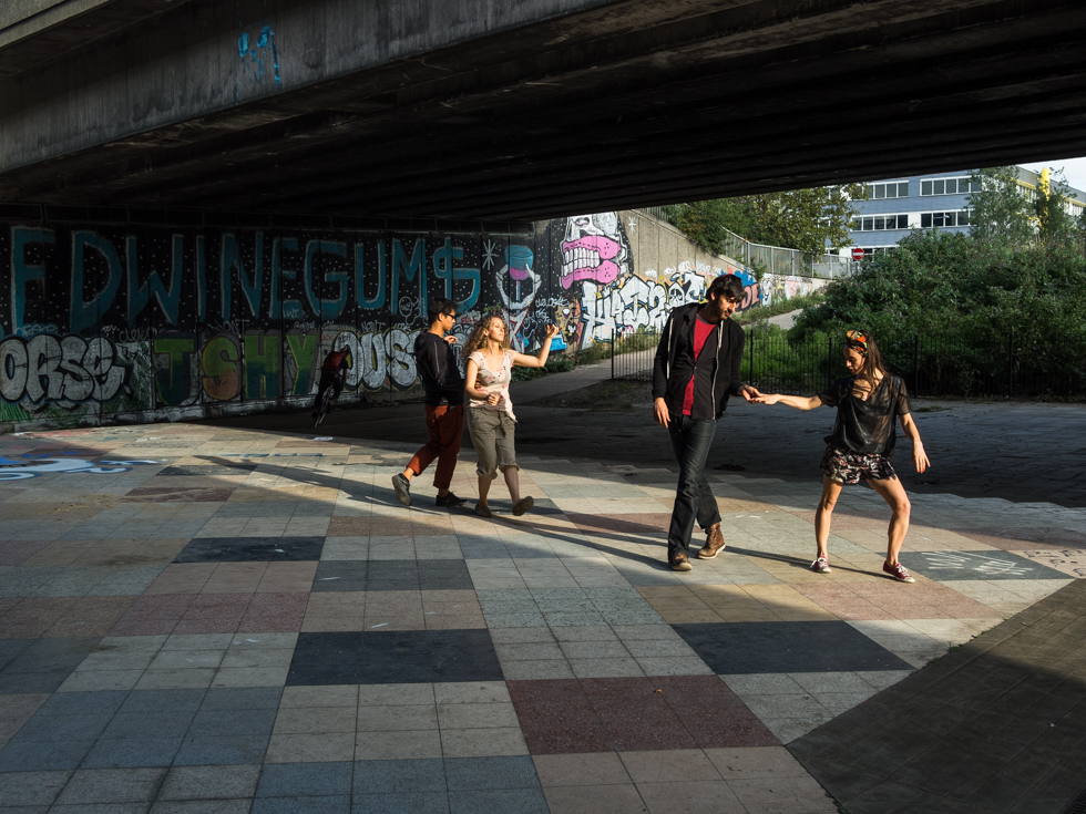
Eastway, Lee River navigation, Hackney Cut
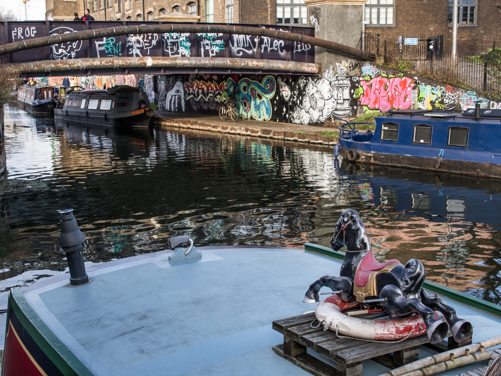
Lee River navigation, Hackney Wick
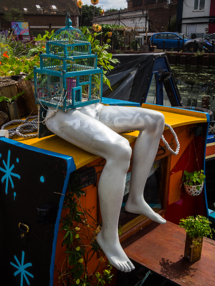
Lee River Navigation, Hackney
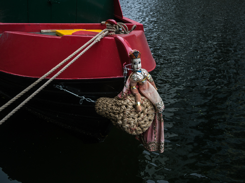
Lee River Navigation, Hackney
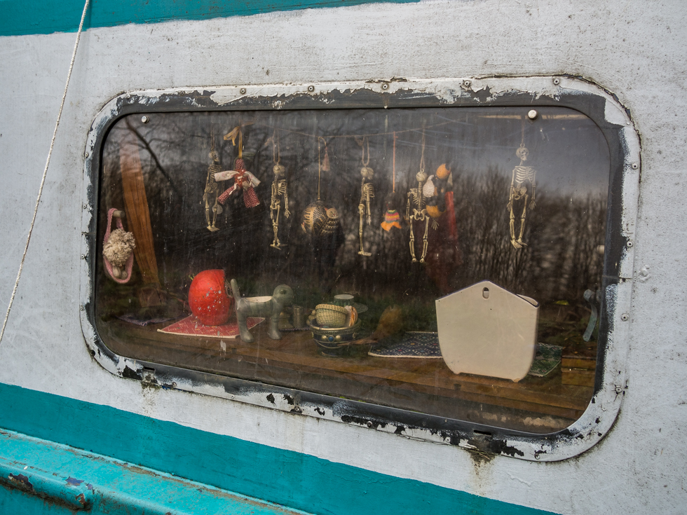
Lee River Navigation, Hackney
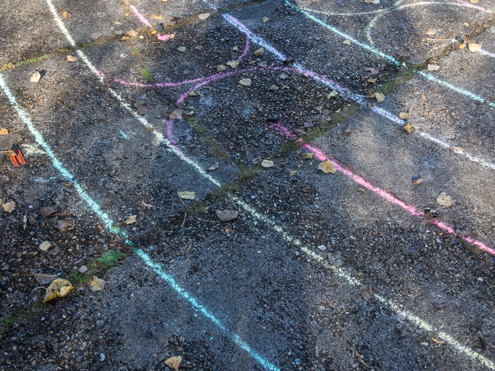
Labyrinth, Middlesex filter beds, Lea River.
Labyrinths are often associated with rituals – walking the path can be the path to god, a contemplative state, or perhaps a pilgrimage.
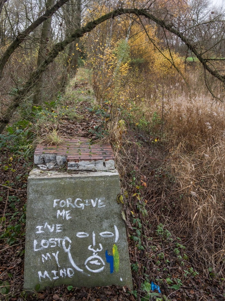
Forgive me I’ve lost my mind
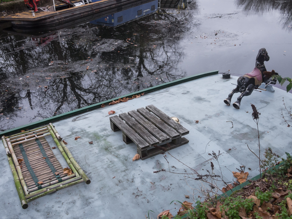
The beginning – or the end of the Lee River Navigation, Lea Bridge London
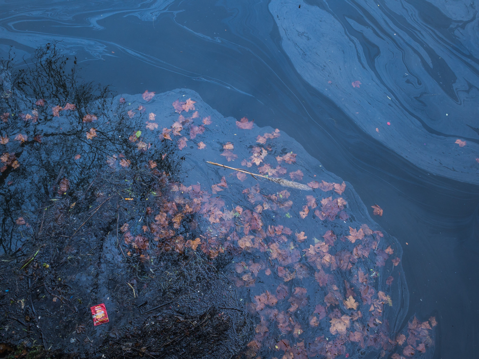
Traces of an old dock that served a tannery at Lea Bridge
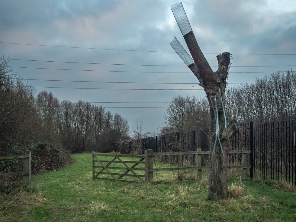
Sentinel at the gate, former filter beds, Walthamstow Marshes
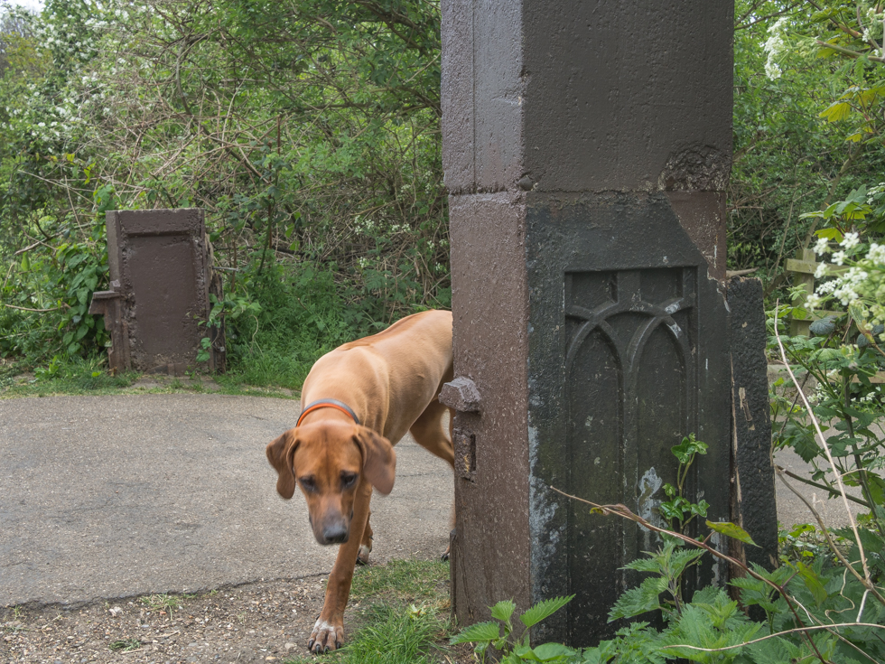
Walthamstow Marshes, Lea River London
These posts are all that remain of a footbridge that once crossed the acquaduct that provided water to the Middlesex Filter beds….
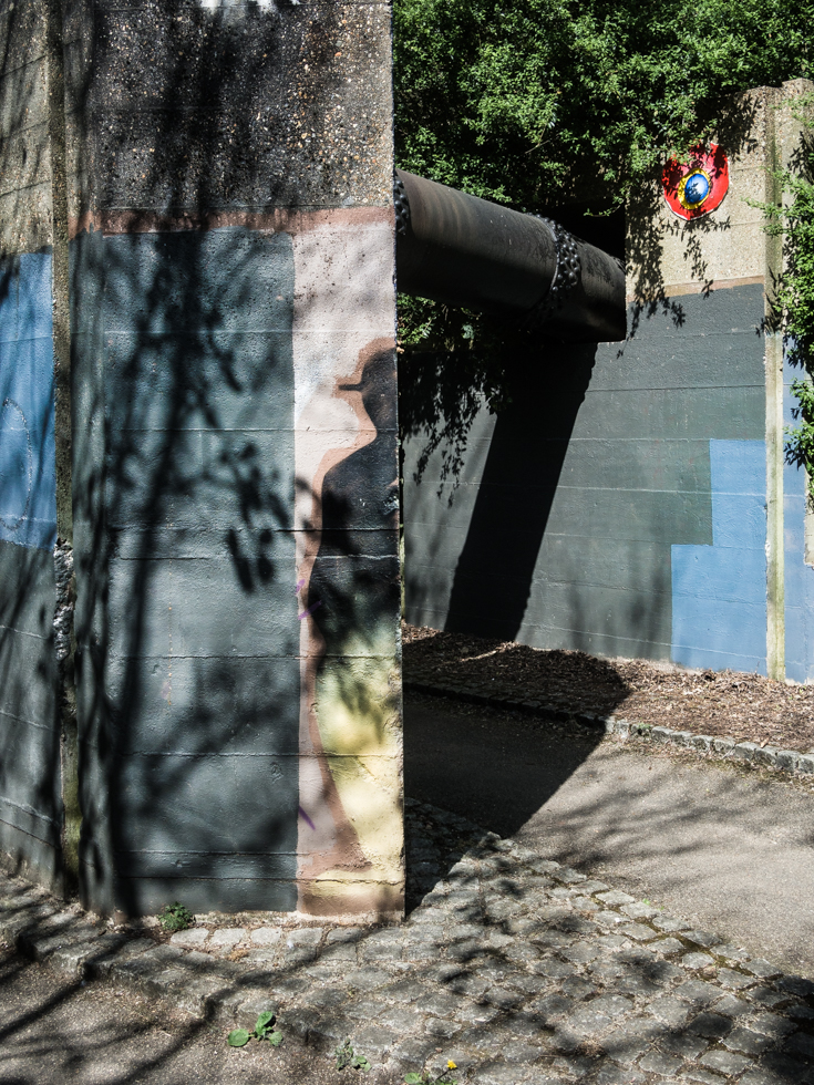
Lea Bridge Road London, remains of the Northern Aqueduct
The end of the tunnel under the Lea Bridge Road shows traces of the sluice gates that once controlled the flow of water from the northern aqueduct that once flowed under the bridge. Walking through the tunnel I wonder if I am walking on what was once the floor of the aqueduct…
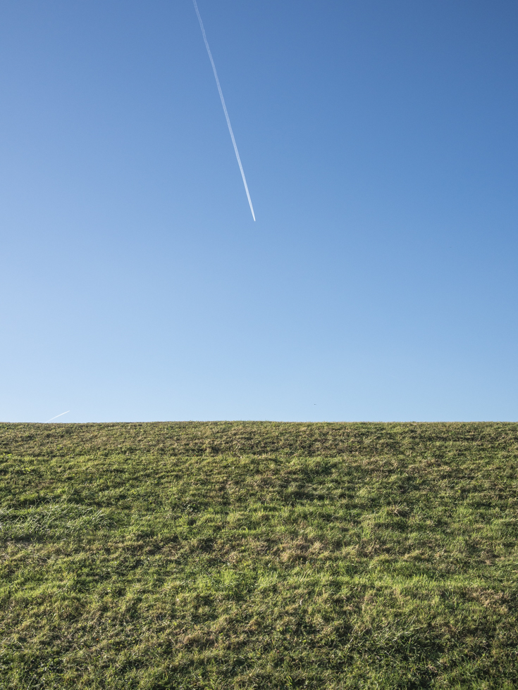
Walthamstow reservoir no 5, Lea River
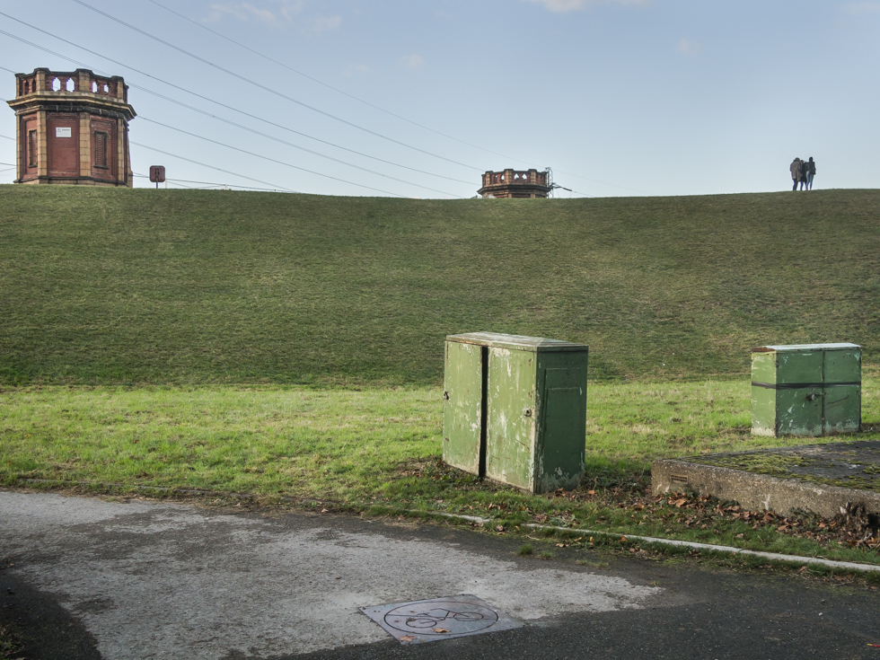
Lockwood reservoir. Lea River, Walthamstow
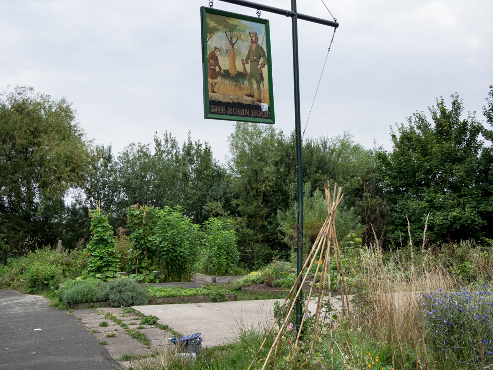
The Robin Hood Garden, Lea River, Walthamstow Marshes. The sign is all that remains of the Robin Hood, a riverside pub that stood on this site
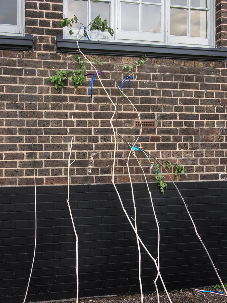
Traces of the Morris Dancers, Princess of Wales, Lea River, Clapton London
I came across a group of Morris Dancers on the old Lammas Lands of Leyton Marshes, which were once an area of common land used to graze horses and cattle from 1 August to 25 March. The coming of the railways and residential development would reduce this ancient open space but local groups, including these Morris Dancers, continue to fight for access to common land. I left the group as they crossed the railway tracks at Leyton. Walking back to the Lea river I found their branches lying along the wall of the Princess of Wales..
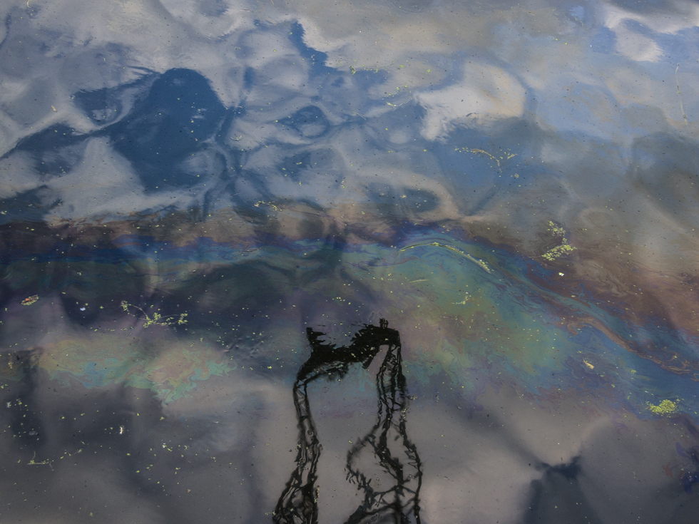
Imperial Wharf, Lea River, Tottenham London
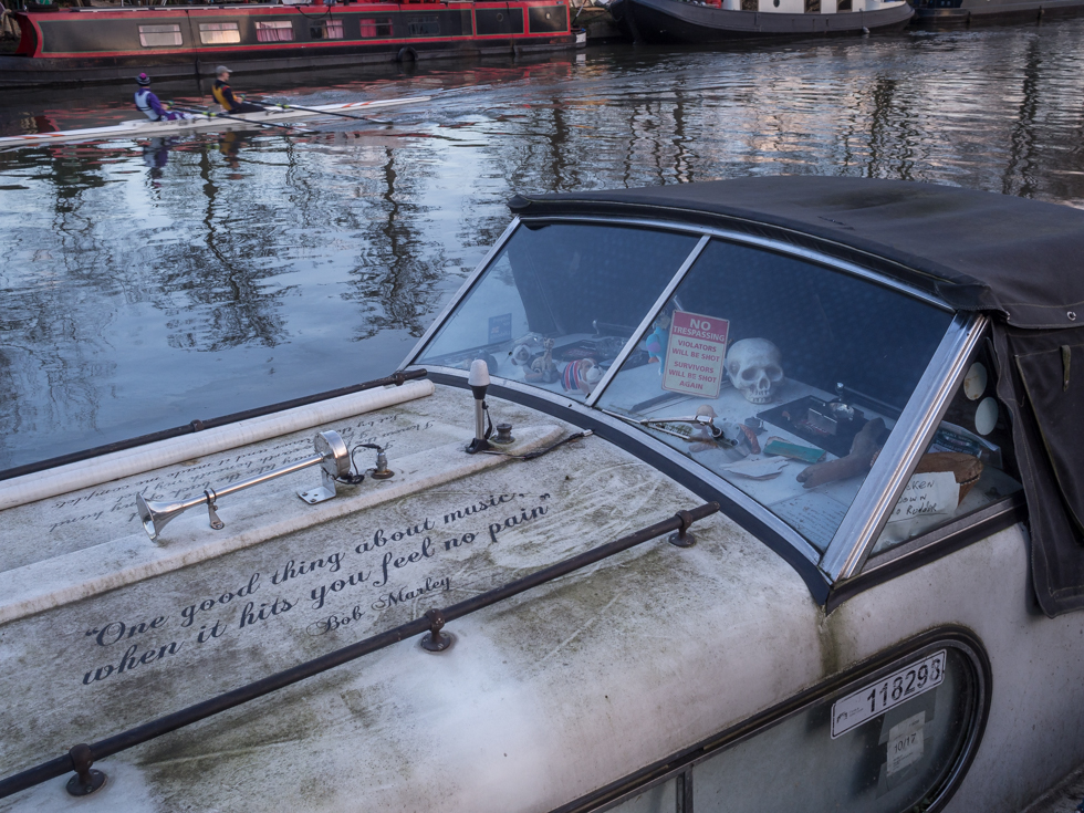
‘One good thing about music – when it hits you feel no pain’, Bob Marley, Lea River, Tottenham
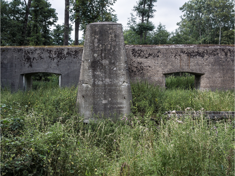
Royal Gunpowder Mills – The Royal Gunpowder Mills operated from this site on the Lea River from 1787 till 1991. Orginally established to provide secure and reliable supplies of gunpowder to deal with the crisis of the French Revolution and later the Napoleonic Wars the site continued to develop military technology to deal with further conflicts through the 19th and 20th Centuries. Today the site is recognised as part of the European route of industrial Heritage. But prior to this industrial landscape an earlier use for the site existed. The Monks of Waltham Abby used the site as a fulling mill for cloth production – and the watercourses on the site owe their orgin to the Monks..
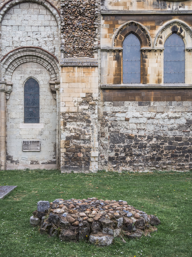
Waltham Abby Church, Lea Valley – There has been a church on this site since the 7th Century but most of the current structure dates from the 12th Century. The church was enlarged during King Harold’s reign in the 11th Century and his body is apparently buried on the High Altar of the 11th Century Church, which is now in the church grounds as the church was rebuild during the Norman era.
The church warden told me that during various restoration works on the church comments have been made regarding the origin of the building stone, which suggests that through the cycles of building and demolition the building materials have been reused. Reflecting a mix of Norman, Saxon and perhaps older influences on the church structure.
In the church grounds you can also see the remanents of the monastery buildings, the last of the monasteries to be disolved under Henry VIII.
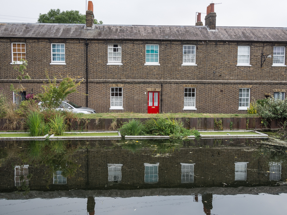
Government Row, Enfield Island, Lee River Navigation
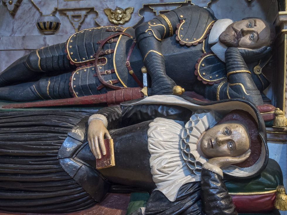
Sir Edward Denny and his wife, Waltham Abbey Church
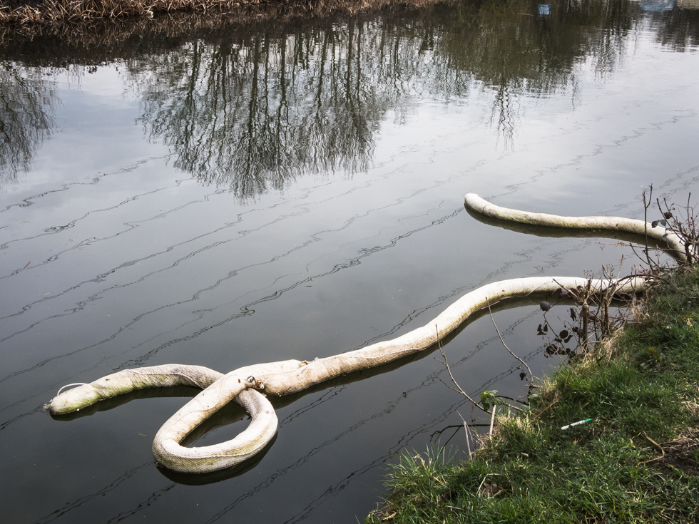
Borderlands, London Orbital Motorway, Lee Navigation, Enfield London. The London Orbital defines the border between greater London and the Home Counties, but the river also marks an ancient 10th century border between the English kingdom of Wessex and the Danish kingdom of East Anglia…
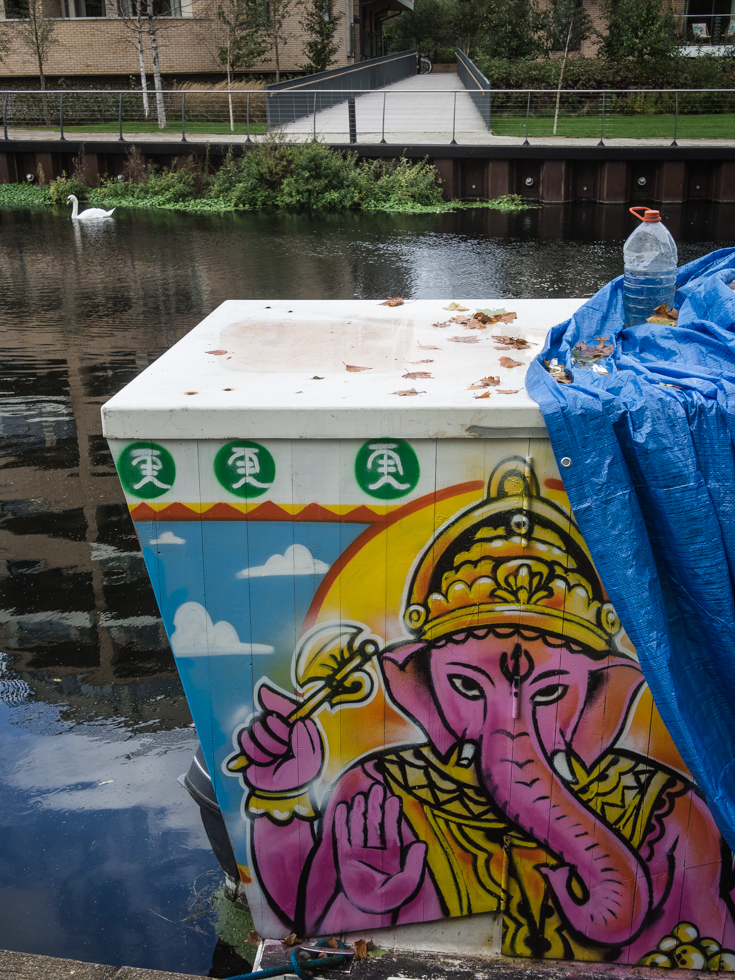
Ganesh, Lea River
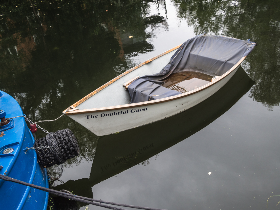
The Doubtful Guest, Hackney
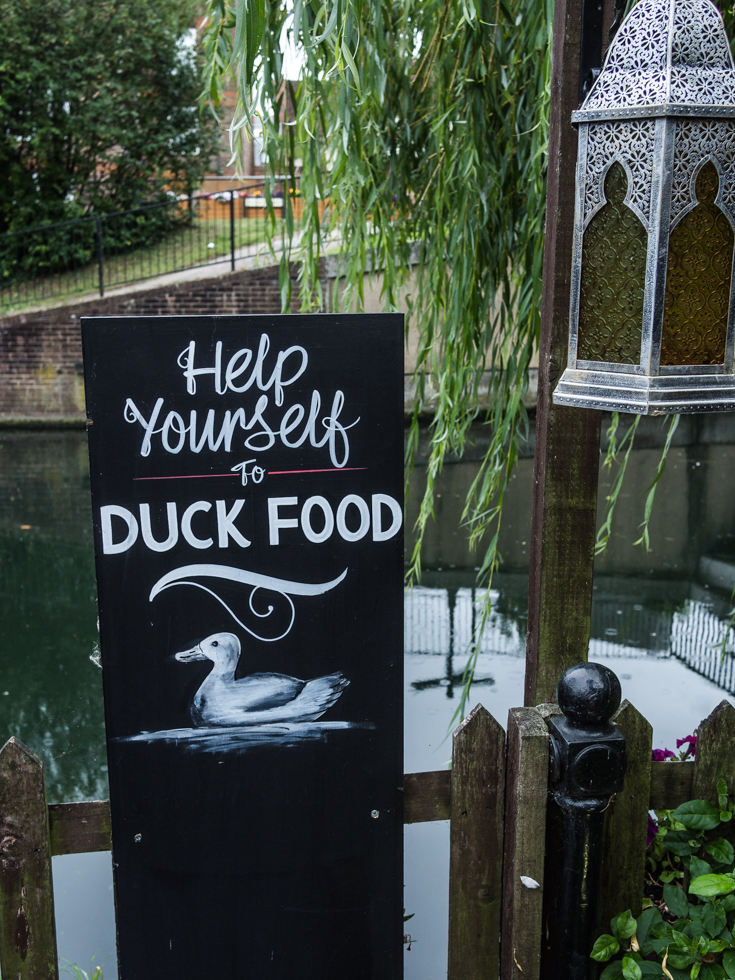
Help Yourself to Duck Food, The Waterside Inn, Ware Lee River Navigation – obviously the food is to feed the ducks not you…
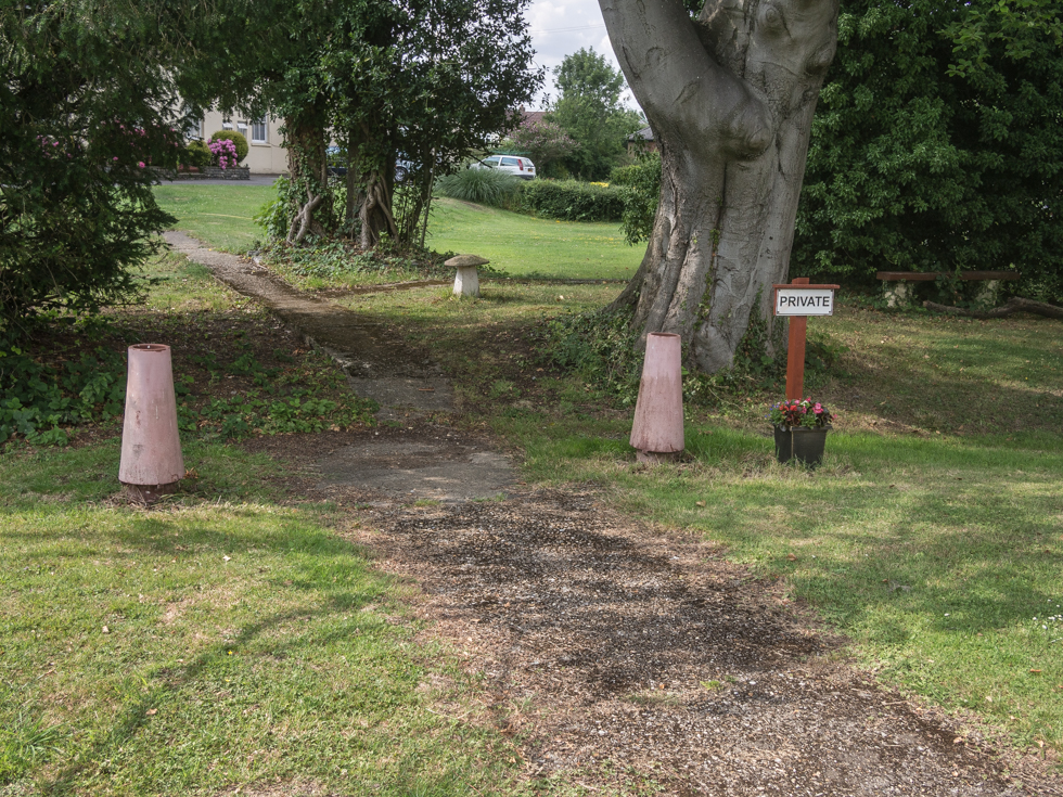
Towpath, Lee River Navigation, Hertford
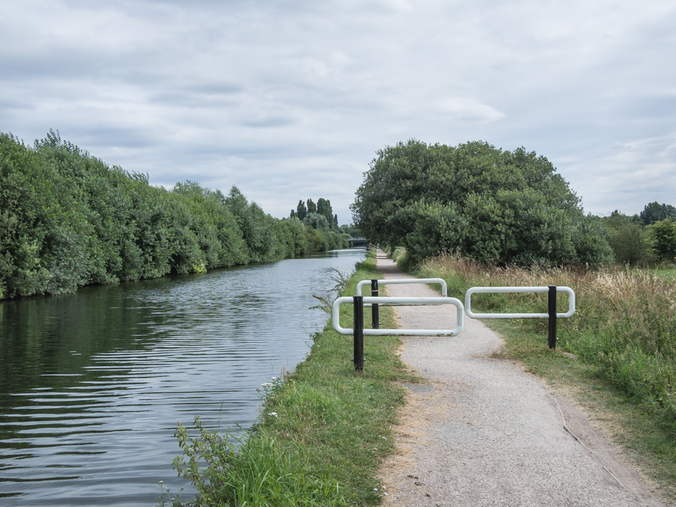
Lee River Navigation, Cheshunt
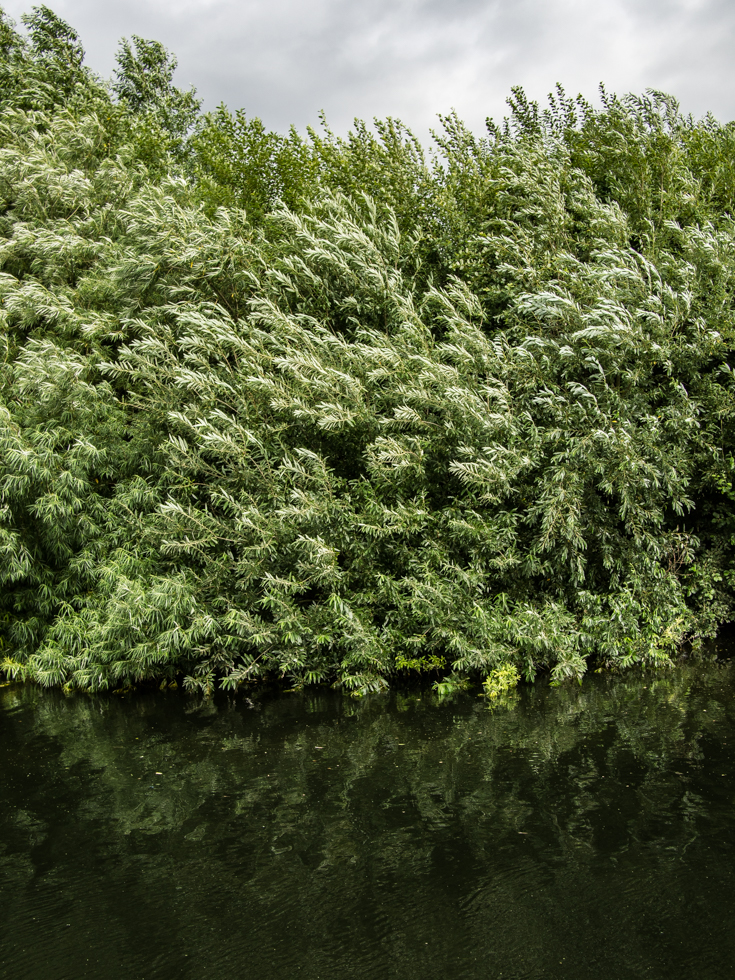
Lee River Navigation, Cheshunt
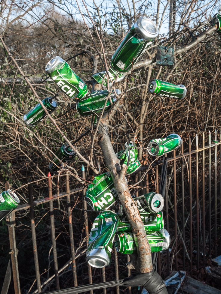
Beer Tree, Marksfield Park, Lea River, London
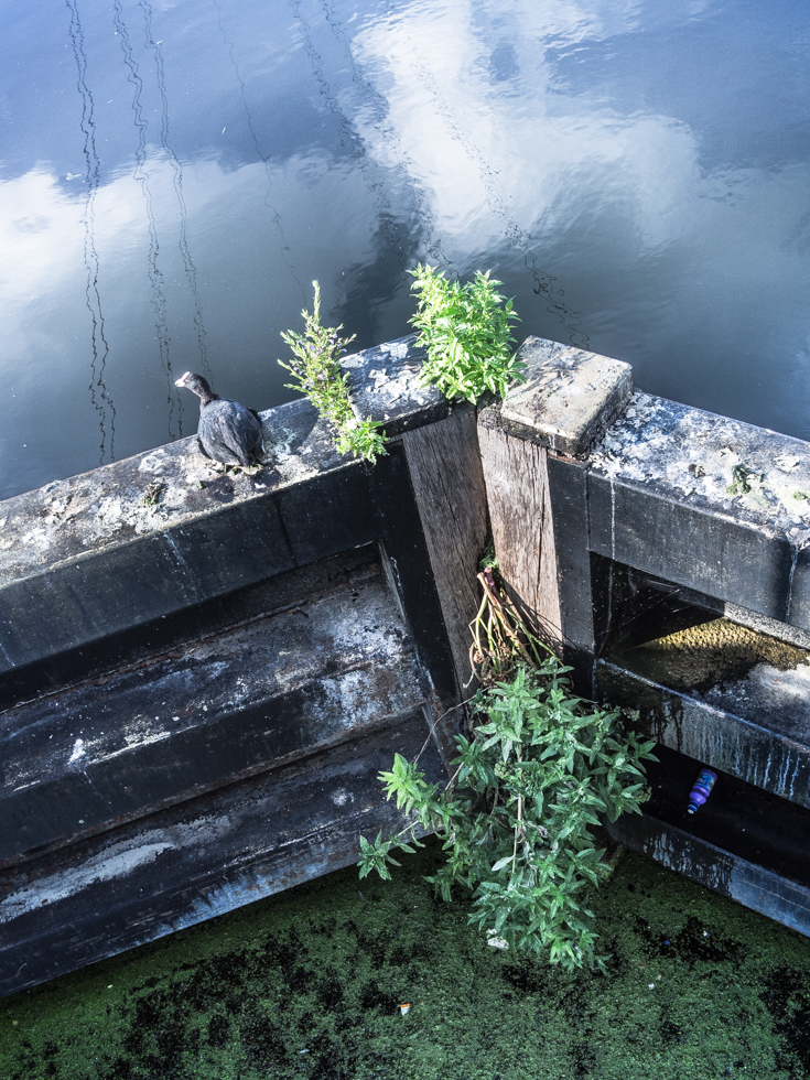
Tottenham Lock
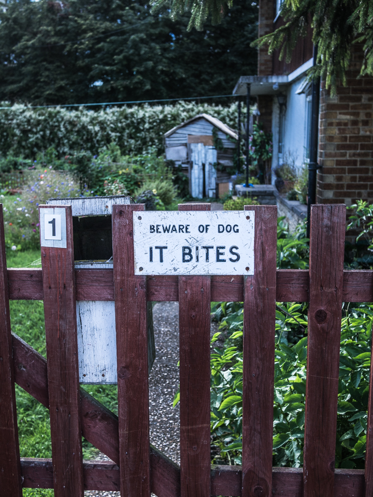
Towpath, Lee River Navigation, Tottenham Lock

Meditating on the Hackney Cut, Lee river navigation, Hackney London
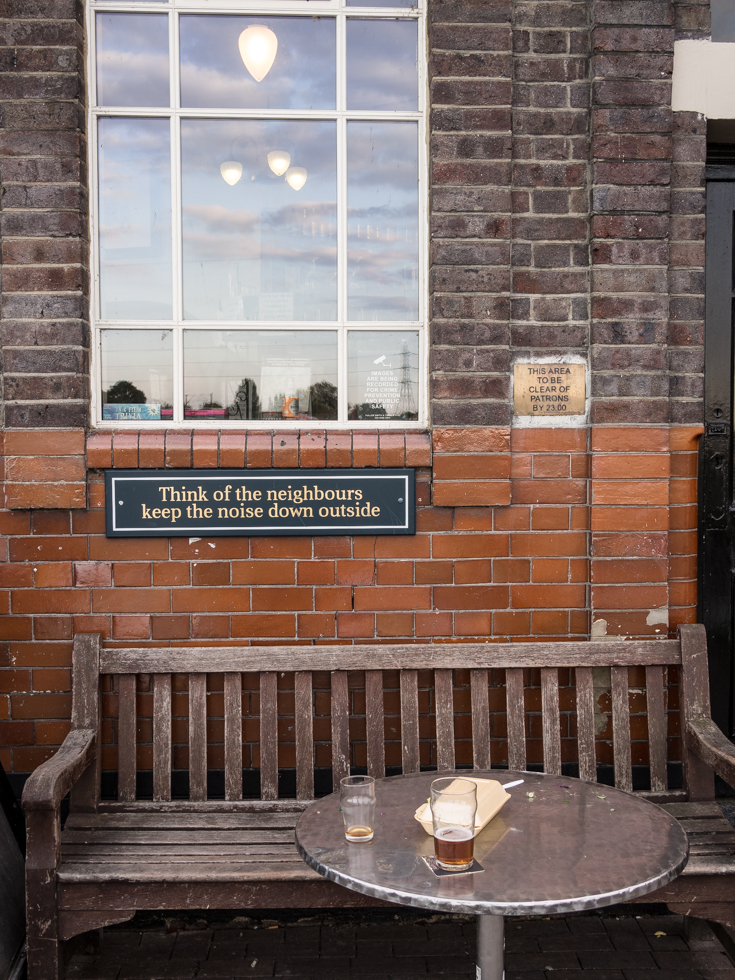
The Anchor & Hope, Lee River navigation, Walthamstow Marsh
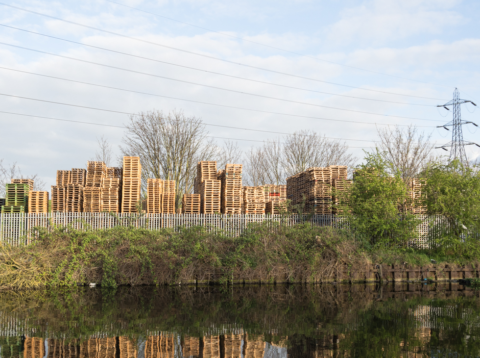
Lee river navigation – Tottenham marshes
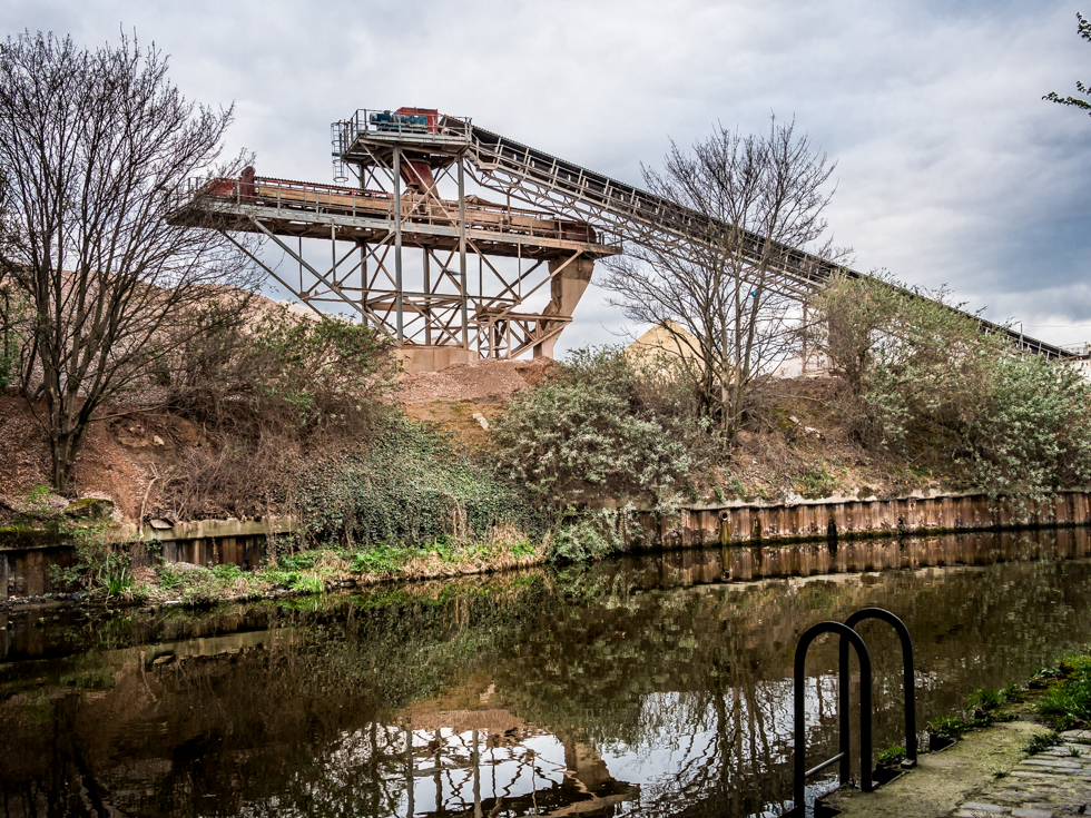
London Concrete, Lea River, Bow London
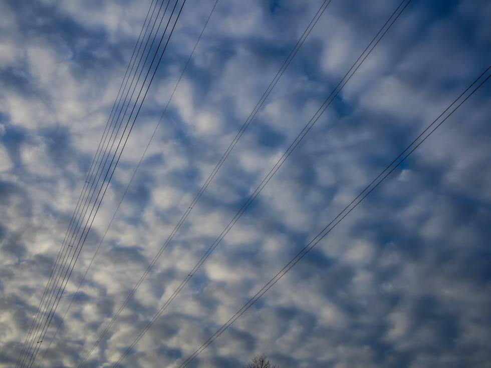
Hackney Marshes
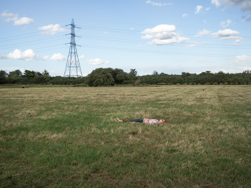
Walthamstow Marshes
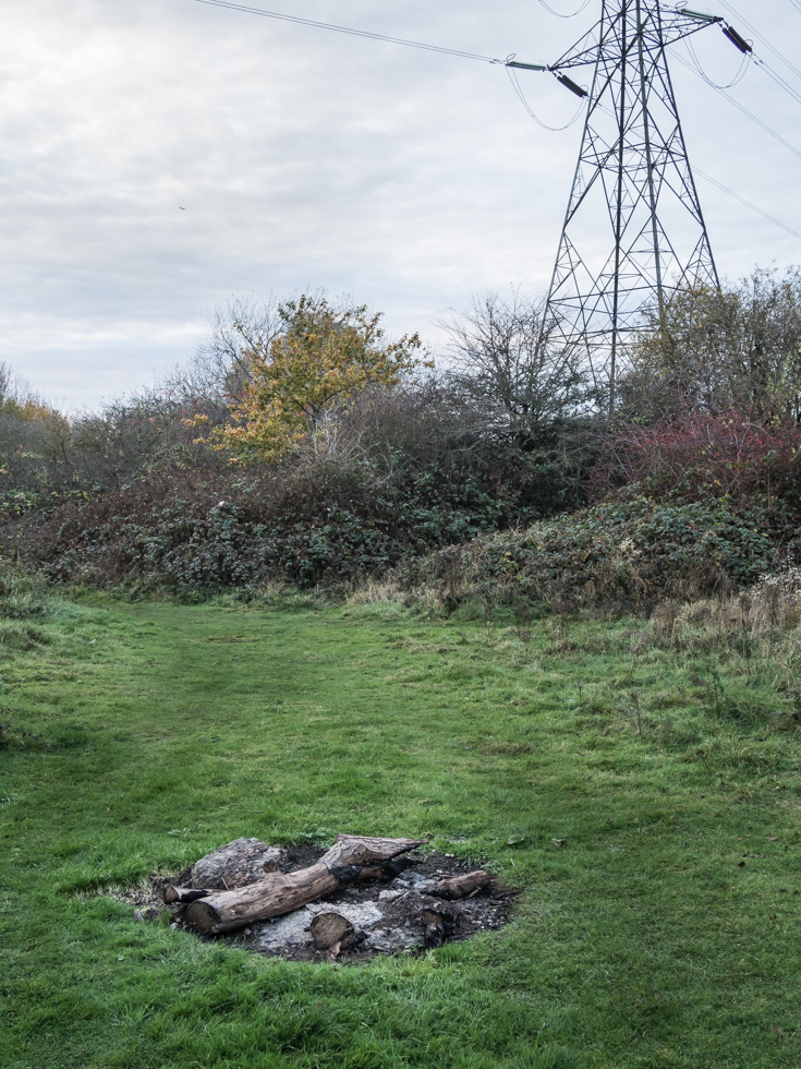
Walthamstow Marshes
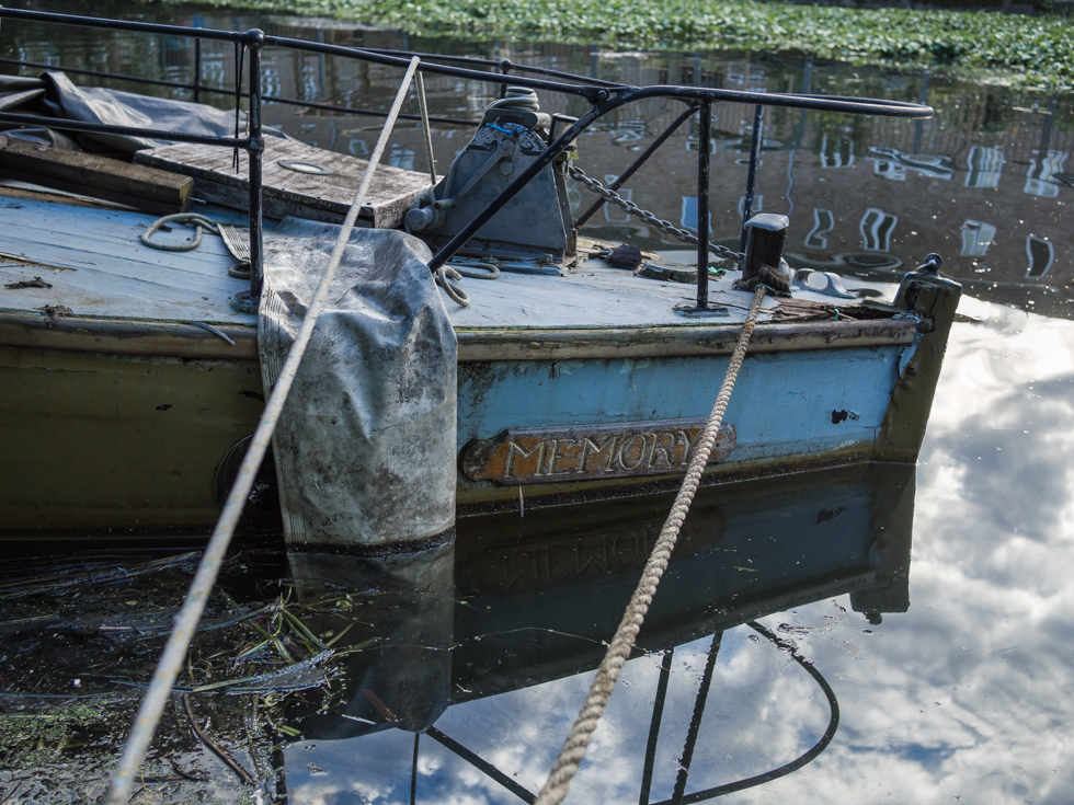
Memory, Lee River navigation, Hackney Cut
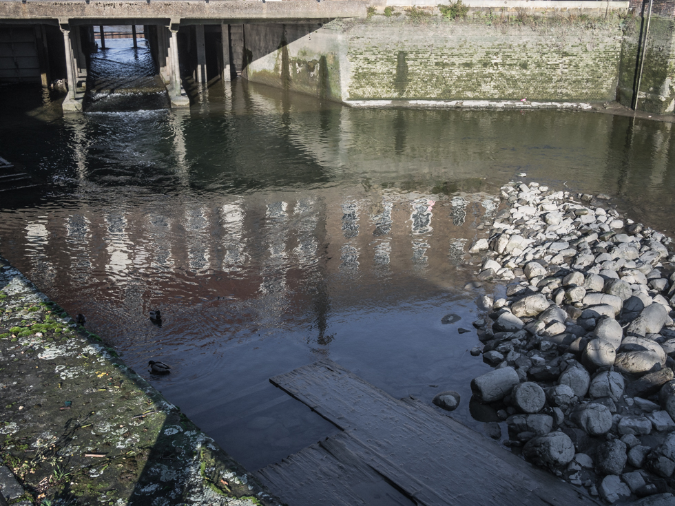
Three Mills, Lea River, Bow London – There have been tidal mills on this site since the Doomsday Book of 1086 and the area has been known as the three mills since the 12 Century. Used to mill flour for the bakers of the City of London the mills also provided grain for gin in the 17th Century.
The current buildings on the site date from the 18th Century and the Nicholson company, which bought the mills in 1872, made its Lamplighter Gin here. The process of distilling achohol led to a novel use of the mills during the 1st World war – using fermentation to make acetone, a key ingredient in cordite – a shell propellant. Chaim Weizmann (later to become the first president of Israel), developed a process at the three mills that enabled this vital war ingredient to be made using a similar process to the distillation of achohol.
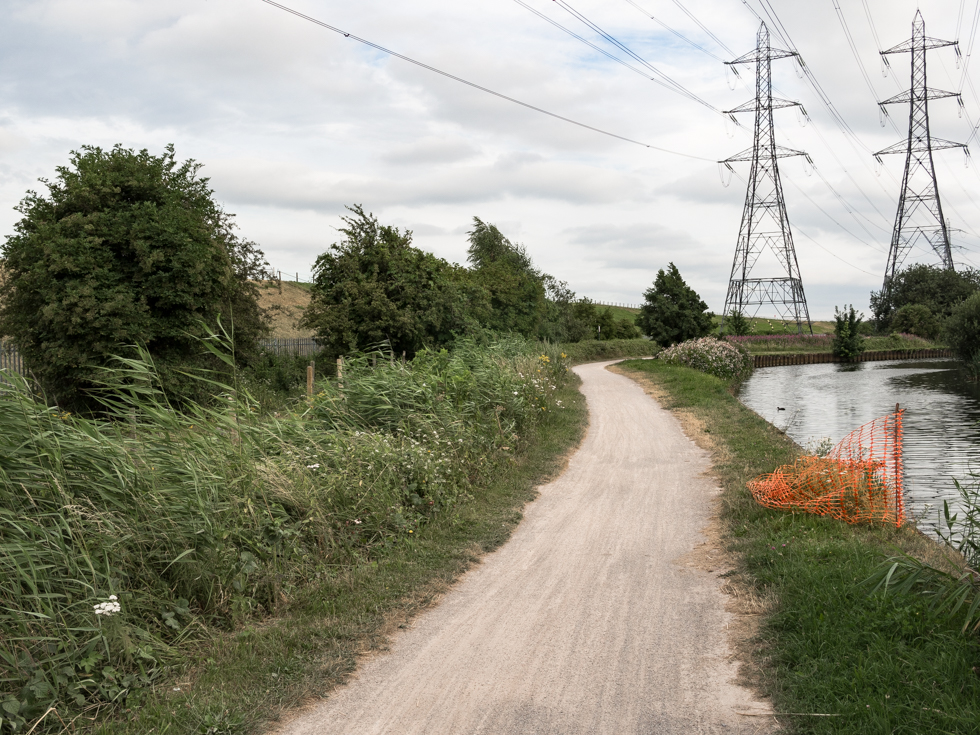
Lee river navigation – Enfield London
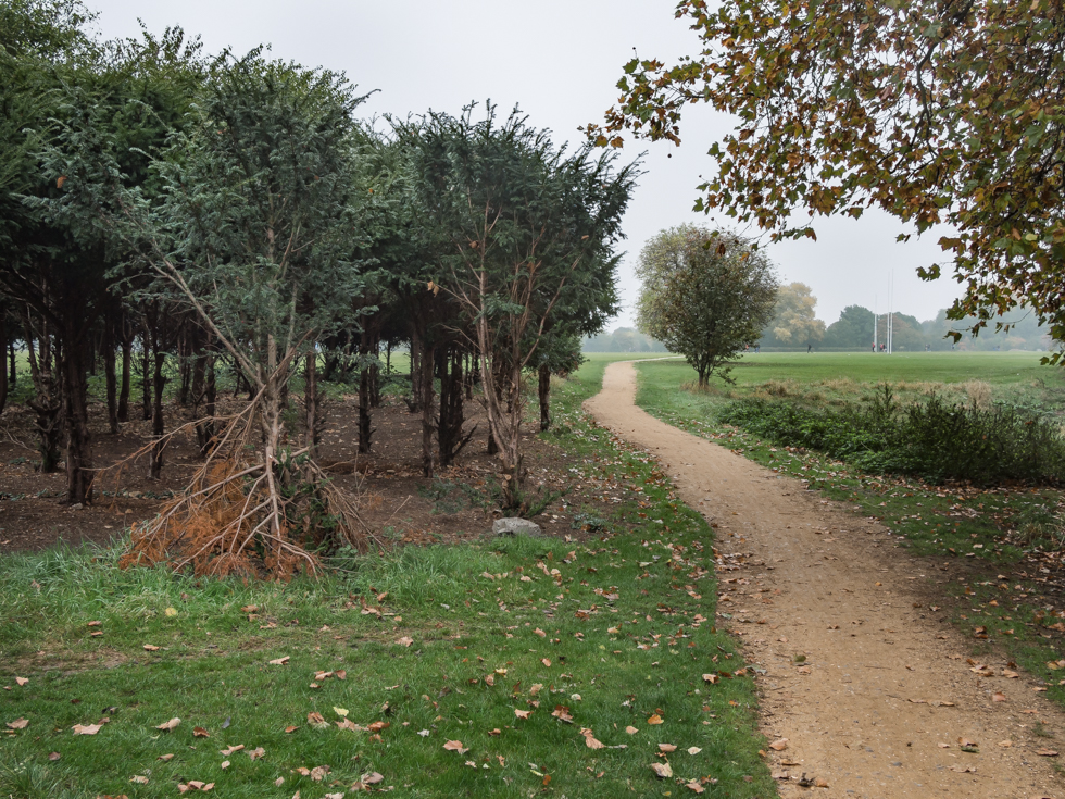
Hackney Marshes, the spiritual home of Sunday football – The Marshes were originally true marshland, created by the frequent flooding of the river Lea. Over the centuries the marshes were drained and today the original path of the Lea follows the marshes to the east with the Lee River Navigation bordering on the west. The Marshes are internationally known as the spiritual home of Sunday league football, with 82 football, rugby and cricket pitches located here.

Lea River, Ware
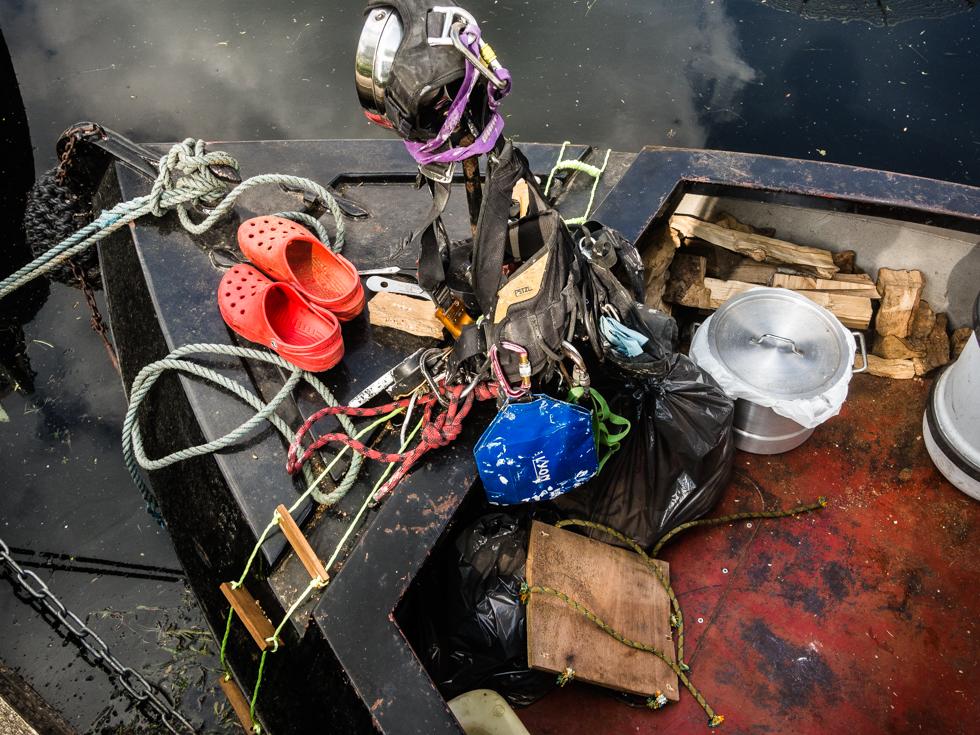
The red shoes, Lea River, Clapton London
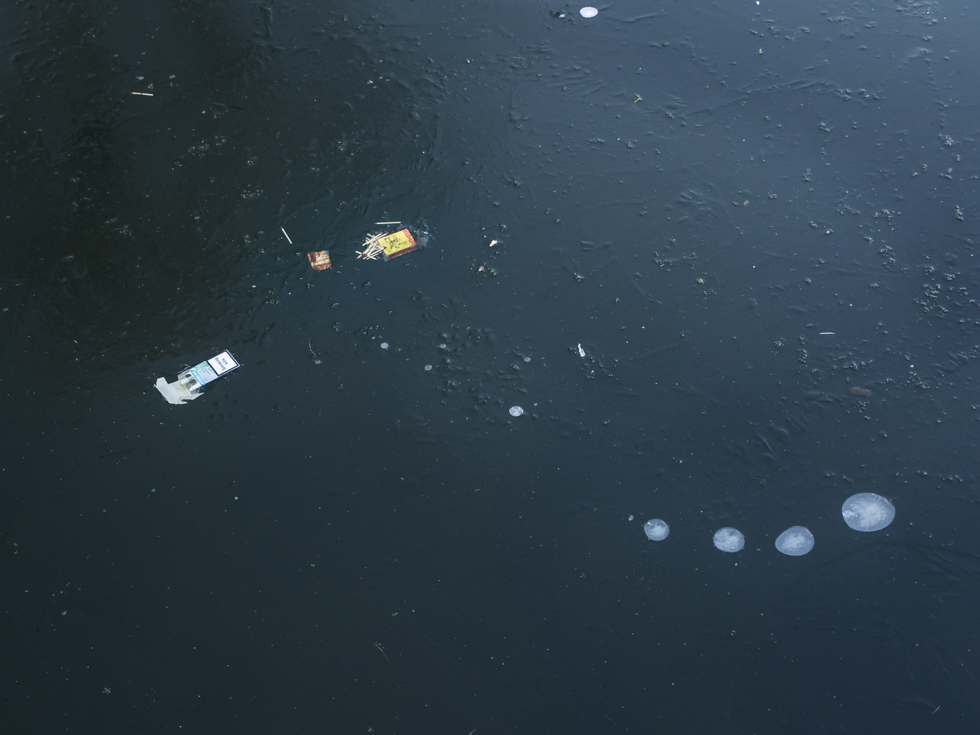
Cigarettes and matches, where the Limehouse Cut meets the Lea River
